Fall has arrived in the Willamette Valley and the west slope of the Cascades. The drive out yesterday was through a decent rain, but it mostly dissipated by the time I made a pit stop at Foster Lake. Without the summer traffic to Bend and Central Oregon, Highway 20 felt deserted once I passed Sweet Home.
My plan for the day was to focus on the bench above the creek, and then, time and weather permitting, clear two other areas along the stream, both a little to the north of the bench. I took a circuitous route to the start point, passing through the area I searched two weeks earlier. I came up to the bench, dropped my pack, and geared up to start the day’s work.
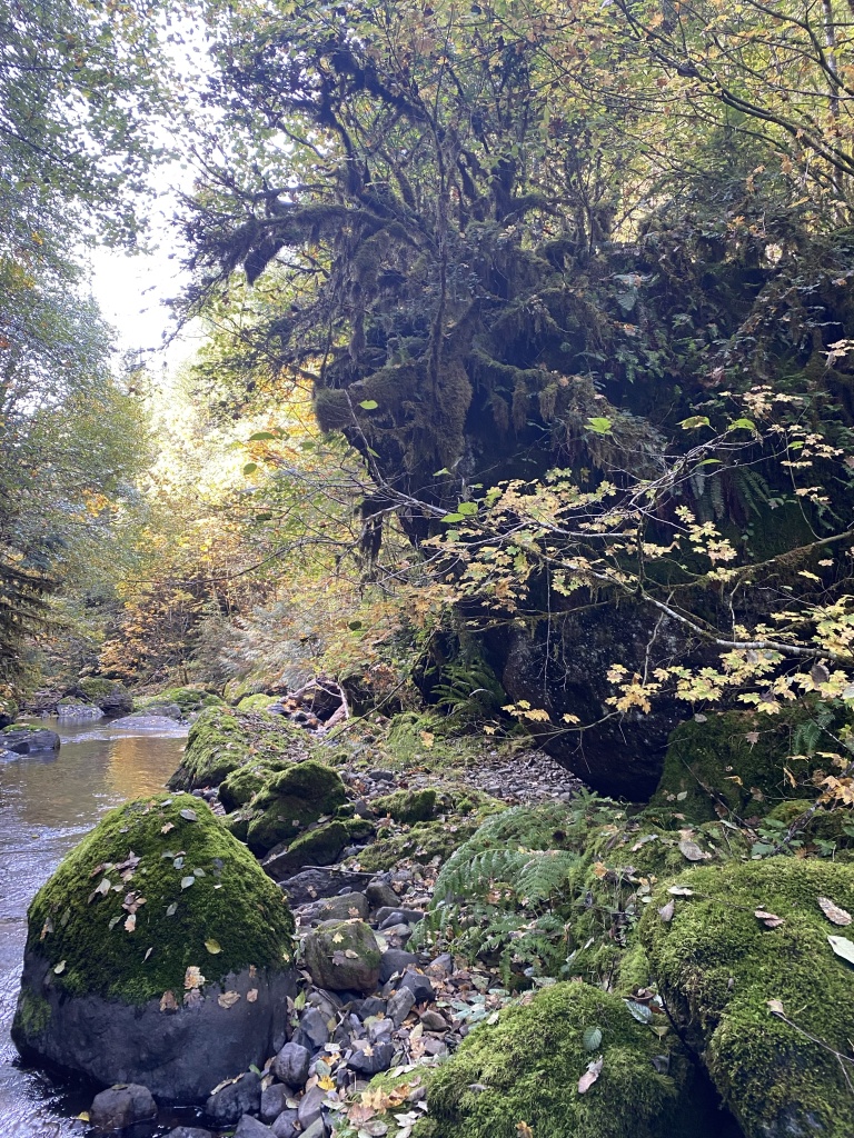
I started by finding a way down the cliff above the creek, and examining the base of the cliff along the stream. This was an exclusionary search and a good “once over”. After 46 years of winter storms and spring runoff, I’d estimate the chances of remains being found along the stream bed as low, but it was still worth the time to check out.
Once I was satisfied that the area along the base of the cliff was clear, I started on the bench proper. I decided to approach the day’s work like mowing a lawn. I would start with my feet over the edge of the cliff, then go forward on my hands and knees, clearing the debris away until I got to bare earth. Once the first pass was completed, I’d head back to the cliff, line up on the lane I just made, and repeat the process.
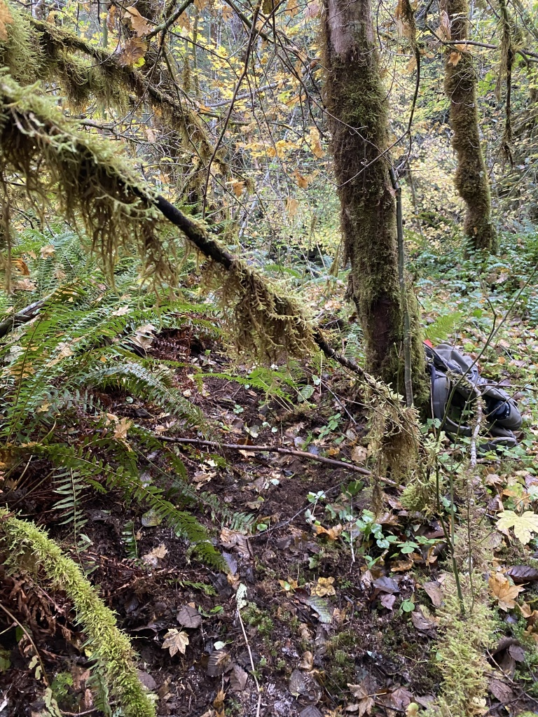
After the first few passes, I then had to clear the salal ground cover. Salal is a native edible plant, with berries similar to a tart blueberry or huckleberry. Unfortunately, no berries were there to sustain me, and instead I had to work through the spiny leaves as I searched the forest floor.

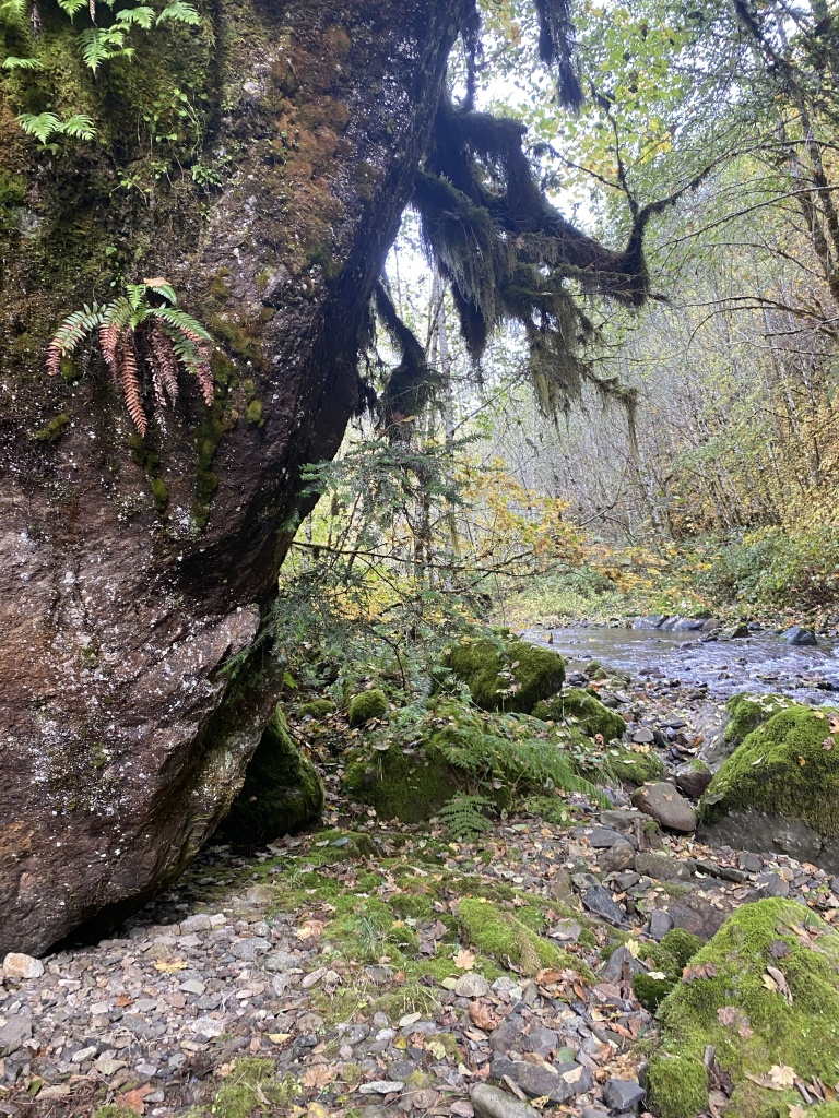
There was a large Doug Fir deadfall that split the bench nearly in half. A mat of other fallen trees, but smaller, created a sort of lean to, with a decent amount of ground underneath and seemingly inaccessible due to the jumble of branches.
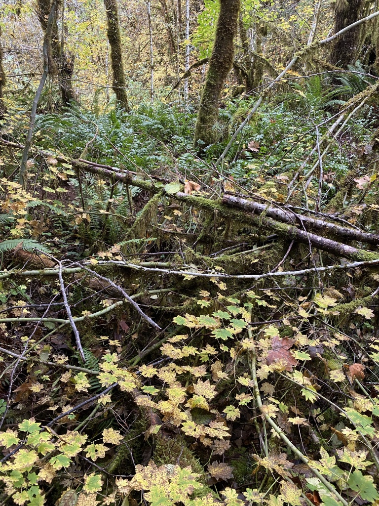
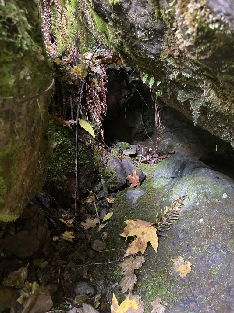
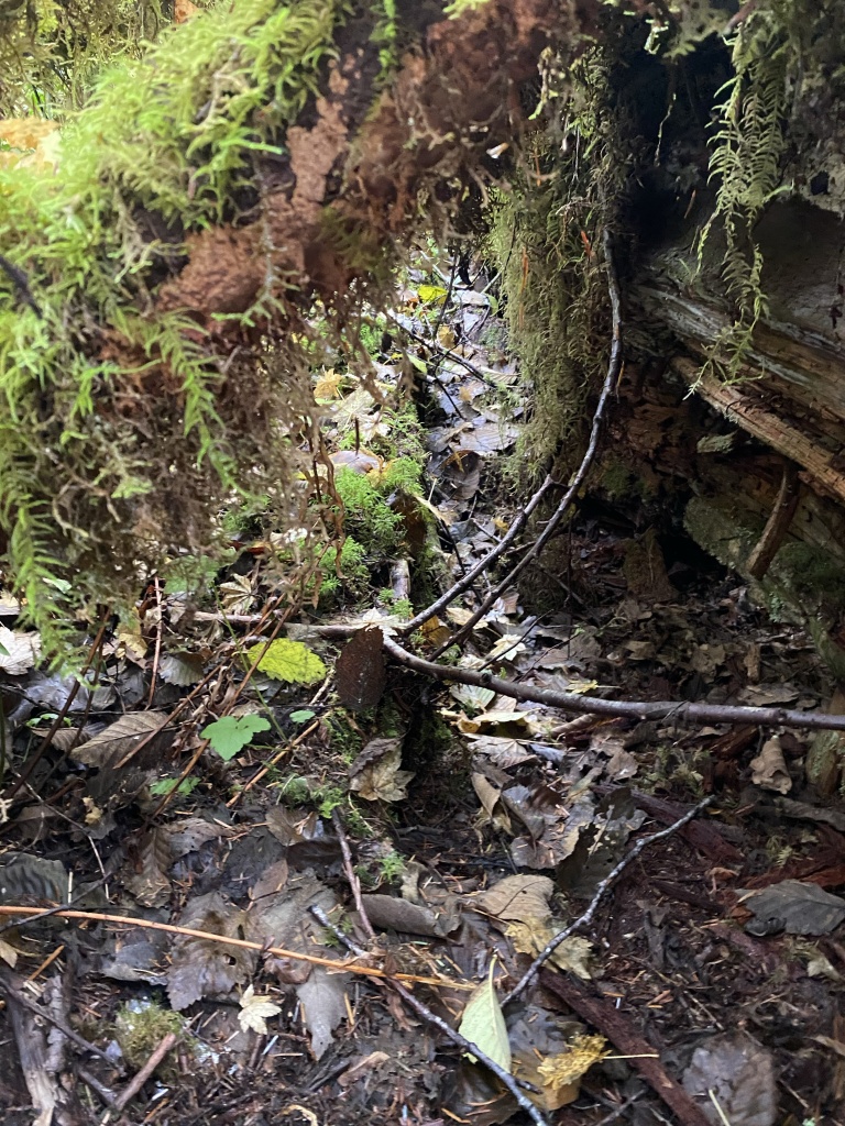
I found a hollow along the Doug Fir, that allowed me to slip underneath the tangle and search as well as I could under that.
After going through that area, I restarted the “lawnmower” lanes on the other side of the log. I spent another couple of hours searching that area.
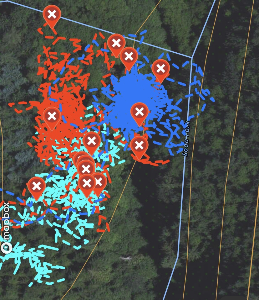
I took a quick video of the area I had searched that day. I managed to search about half to 2/3rds of the bench before the wet and the effort of being on my hands and knees for the day called it. It was a good search, and I felt like I made good progress at this site. The day’s track is in blue, and covers the two miles I ground searched within that area.

LOVE the videos and the description of what you are doing and thank you for taking us along on your journey to bring hope and healing to the families!!
LikeLike