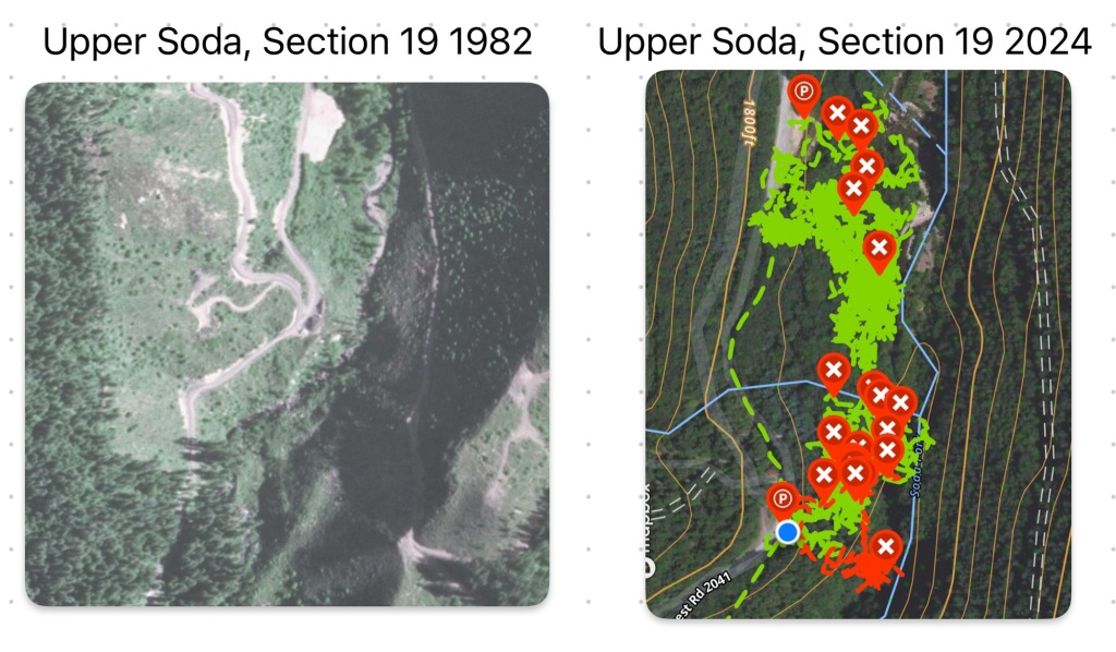
I completed the first search of 2024 today at the Lee Site. My search plan was informed by the 1982 aerial survey of the area, which provided a roughly contemporary view of the area that I could line up with news reports from when Karen’s clothing and belongings were located by Willamette Industries loggers and turned over to LCSO.
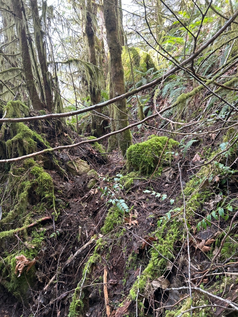
Since it has been about 5 months since I’ve been on the ground, my first order of business was to reorient myself to the site, locate where I stopped searching in October 2023, and then determine the area I wanted to search today. Winter storms have knocked down quite a few branches and trees, but without the new undergrowth springing up, the ground was fairly easy to move through and search. I wanted to start the year’s search where the “second growth timber and heavy underbrush” had been at the time. I was able to locate and follow the faint spur ridge that extends south-southwest from the landing in the 1982 photo. When I reached the end of the spur, roughly where the riparian barrier had been left in 1982, the hillside cliffed out then became flood plain about 15-20 below the cliff.
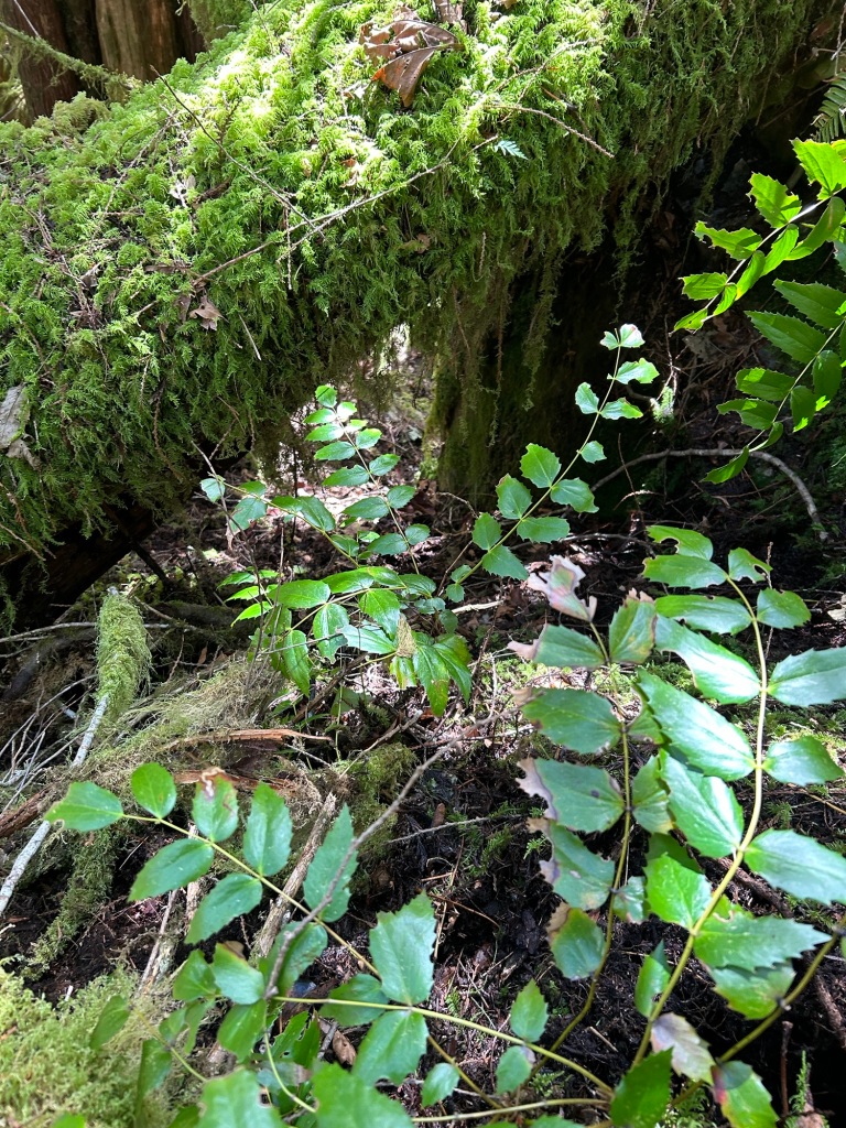
There was a network of drainage chutes leading from the knob at the end of the spur to the cliff edge. A fallen cedar became the northern boundary for today’s search, with my goal to clear the chutes to the south of that log.

My search procedure for today is the same as it was last year. Starting from the lowest portion of the boundary, I cleared the ground of vegetation and leaf litter until I reached the rock substrate of the hillside. Thankfully on a steep slope like this, the top layer is only about 1” – 3” deep before hitting rock. I worked uphill to the knob, then shifted south one arm length for the next lane.
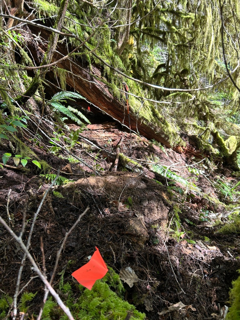
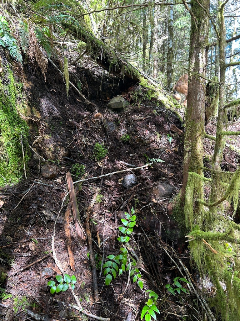
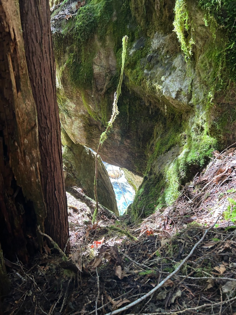
This work is slow and methodical, and at this time of year, cold and damp. The air temp was in the low 40’s at this elevation and near the creek bottom. I was able to cover about 1.5 miles within the drainage chutes, clearing debris in a grid. One of the chutes was particularly tricky to search, being exceptionally steep and slick, and after a 90 degree turn to the south, it went under a rock fall and over a cliff into Soda Fork creek.
After 3 hours of clearing the chutes, I walked around the top of the cliff edge, making a site survey for the next search. I was able to locate the limit of the felling operation by the rather neat line of cut stumps. The area below this line will form the Spring 2024 search area for the Lee Site.
