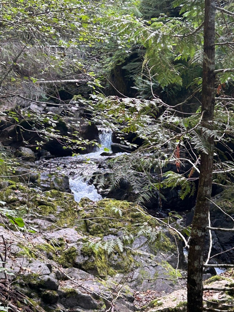
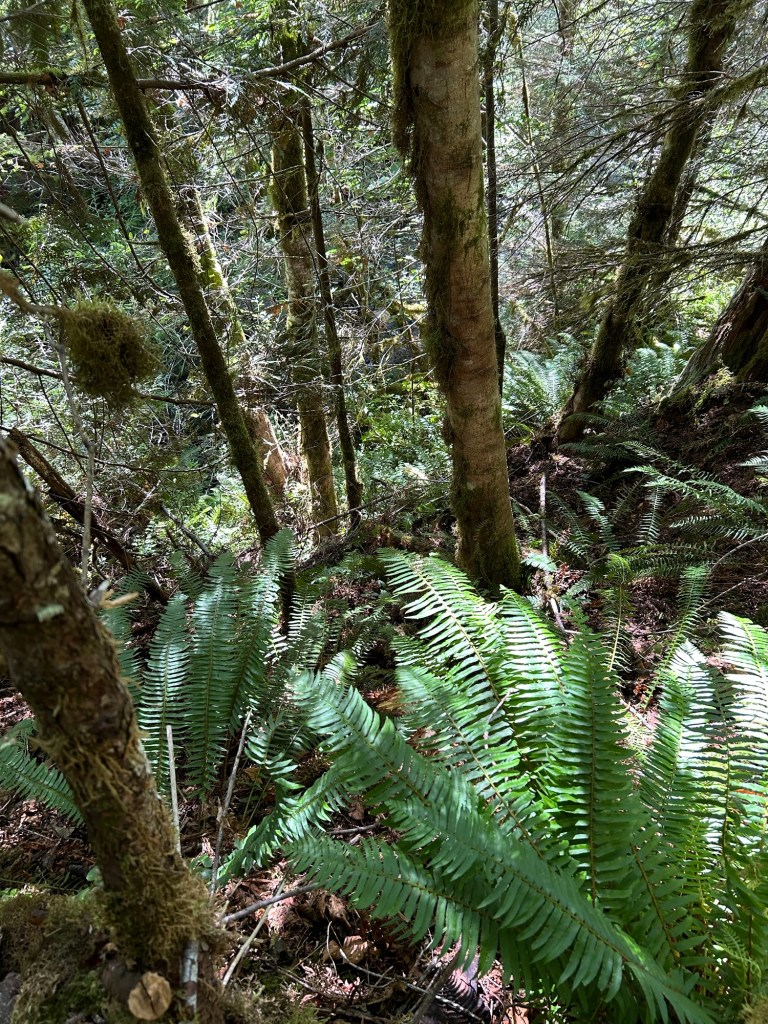
The search yesterday was one of the more physically demanding ones performed at the site. I’m continuing to grid the hillside between the upper bench and Soda Fork Creek and the angle of the slope is very taxing to work. I usually work on my hands and knees in the underbrush, but yesterday I probably spent an equal amount of time prone on my stomach to maximize contact with the ground. Gravity was a constant companion. I experienced one fairly long slide when the ground my boots were kicked into gave way, and gravity overcame the friction co-efficient.
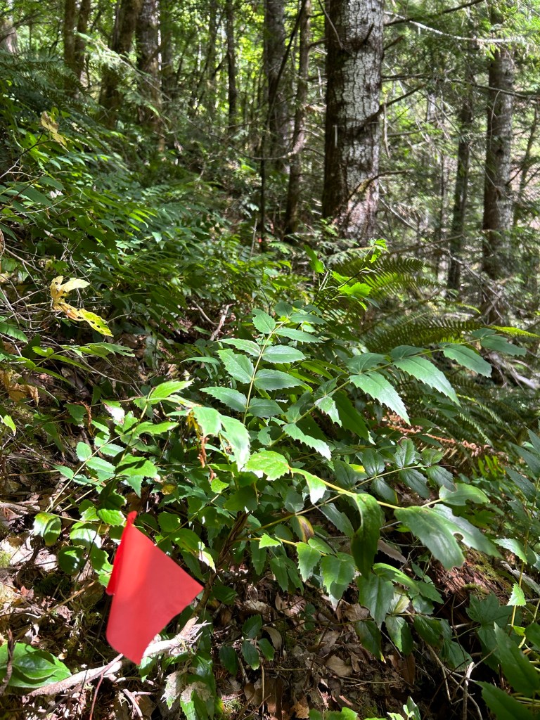
I followed the trail I made down the hillside on the 21 July search, and began yesterday’s search to the south of that zone. I started by clearing the bench just above the cliff out to the creek. Once that area was complete, I began by side-hilling on a crawl to the south, until I reached a point where the cliff cut into the hillside significantly. That eroded area set a natural boundary to the south. I went up the hill about an arm’s length and then reversed my direction of travel to the north, clearing the next strip of ground.
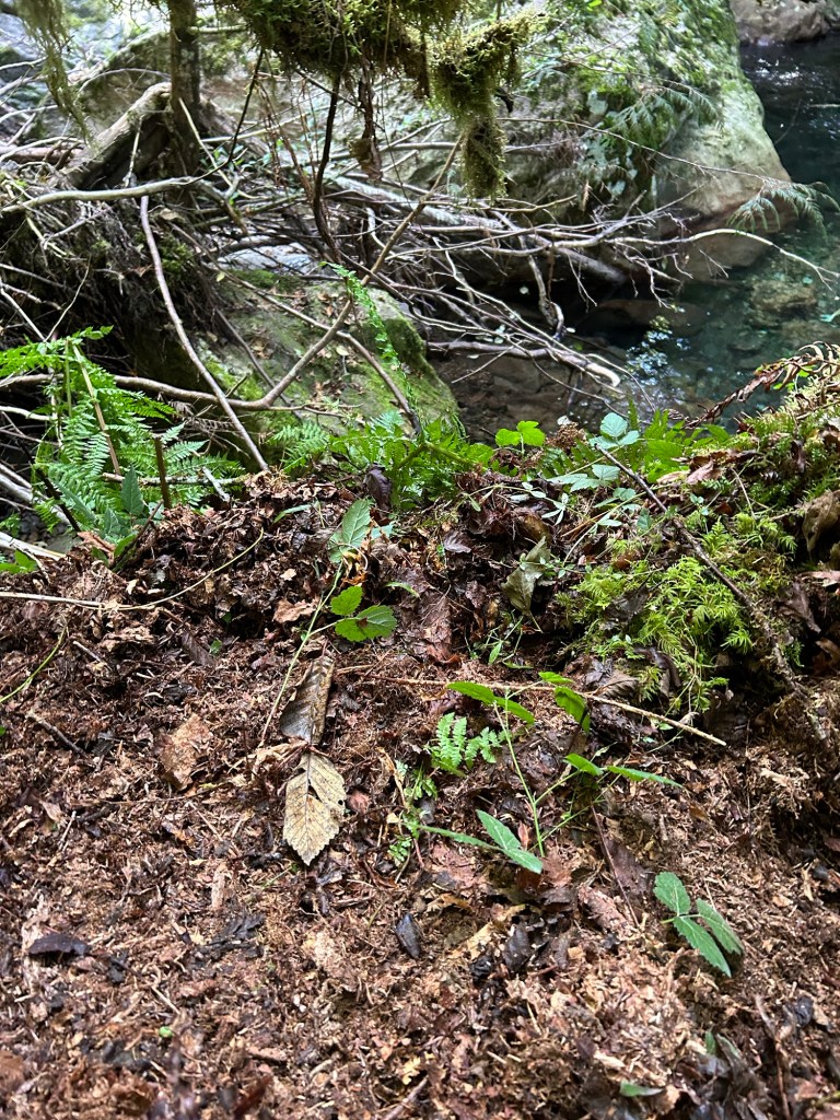
I continued this slow crossing of the hillside for the morning and into the afternoon. The underbrush was thick and there was one area that was tangled in native blackberry and devil’s club that I was unable to get into. The slope was steep and uneven enough that attempting to search it without being roped up red-lined my risk meter. I will get into that area, just on a day when I have the right equipment with me.
Once I finished crisscrossing the lane up the hill, and I was able to sit on the relatively flat ground at the top, I was done. It was grueling to work that hillside. This area would challenge anyone with the combination of terrain, angle, and vegetation. I split a peanut butter Clif bar with the dog and rested for a few minutes. I then marked off the next adjacent lane on the hill before calling it a day.
Another challenge was that my GPS accuracy was off. An iPhone without signal reverts to using solely GPS-A signal, which is less accurate than a signal generated from triangulated cell towers and the GPS satellite network. A stand-alone GPS unit is exceptionally accurate because its antenna is optimized to receive that signal. An iPhone antenna is designed to handle many different types of signals, so there are trade-offs to be made. As a result, the GPS track for yesterday completely overlaps with the 21 July search, making it appear that I covered the same ground twice. I’ve annotated the track with a red box to show the actual area I searched.
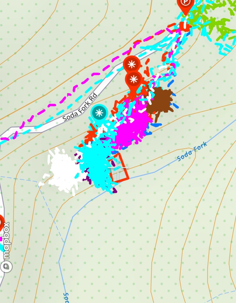
The hillside I’m currently working on is directly below where I found the wine bottle. I consider the area “of interest” due to that proximity. If the bottle was left by Ackroyd when he revisited the crime scene, then downslope from there is a likely area to find disarticulated skeletal remains. That’s a lot of time and labor resting on the assumption that Ackroyd left that bottle, but if it drives thoroughness and a complete search of the landing area, it’s worth it.

Again, Ryan, you continue to amaze me and my gratefulness cannot be described. Your dedication to this search is amazing. Regardless of the outcome, we will be forever grateful.
Deni
LikeLike
Thank you Deni; your words and gratitude mean a lot to me. It’s slow going, but I’m being thorough.
LikeLike