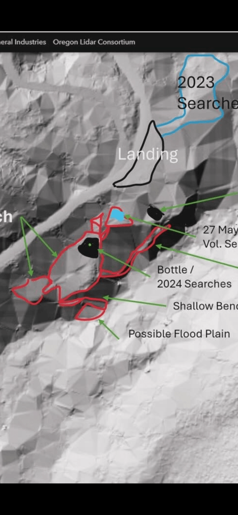
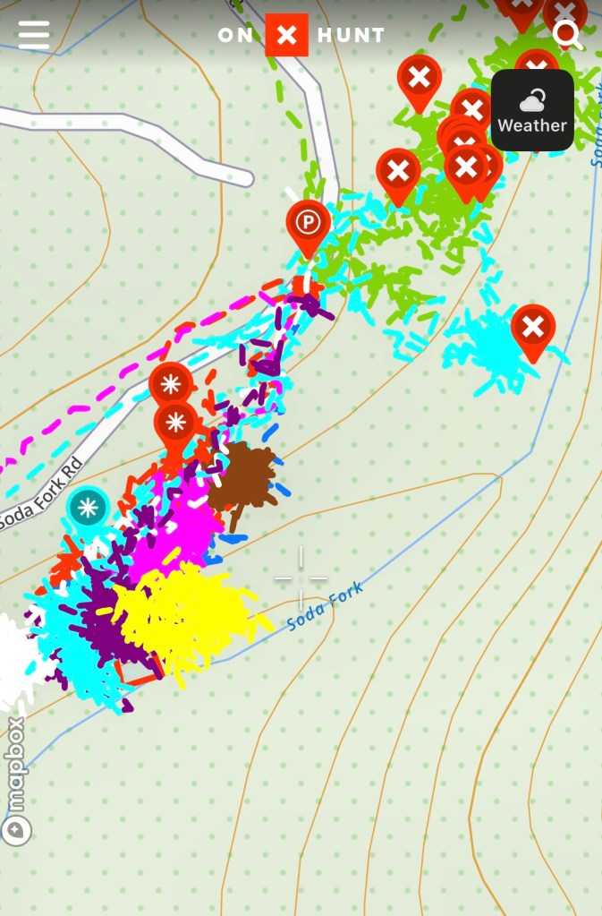
What remains to be searched along the south side of the landing is the very steep hillside from the upper bench to the creek below. Over the summer I’ve able to cover quite a bit of it, working from the south and then north towards the landing. The sections that remain are very steep, probably a 60 degree slope. For safety, I’ve begun to use a rope to get down the hill, and then work in some areas.
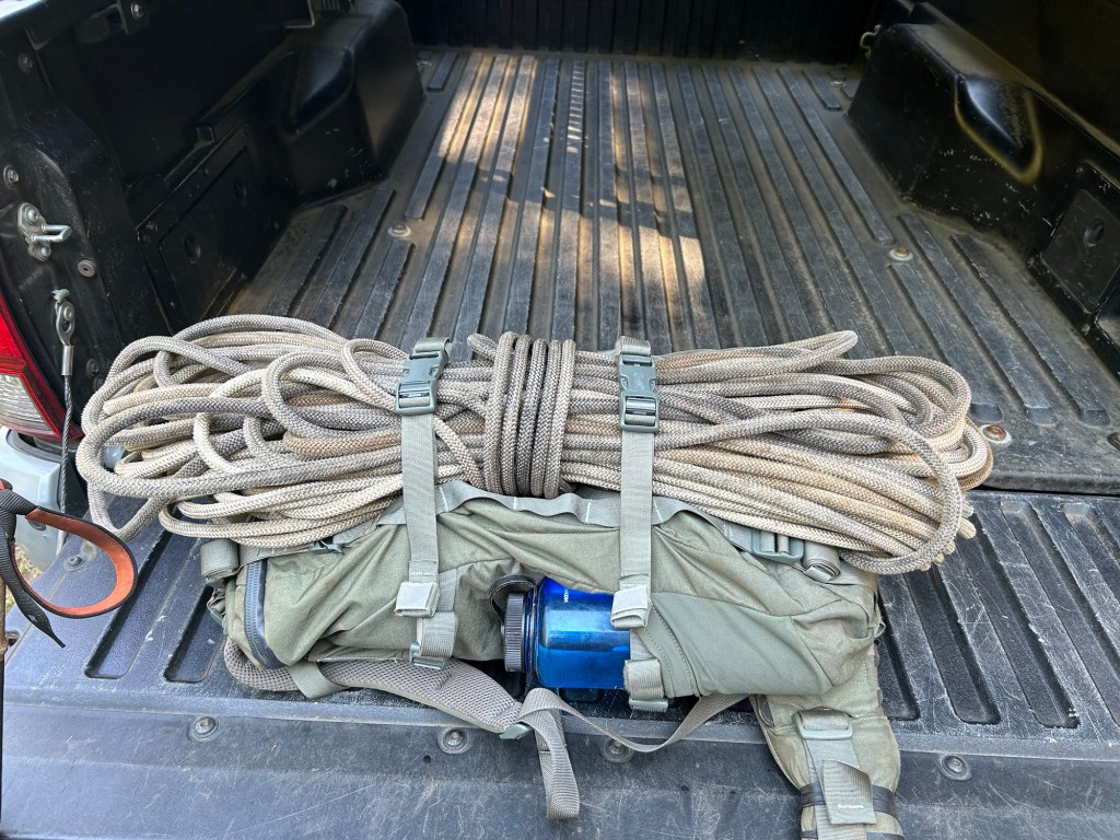
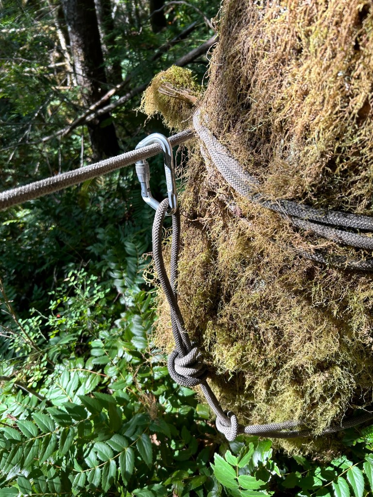
Last weekend I had marked off an area to search knowing I would need a rope system. Not knowing how this would work out, it was a fairly narrow strip down the hill. The box started out just slightly overlapping the 5 October search area, and extended to the north about 50m. I found a suitable anchor point, a well rooted and large Doug Fir, set up a friction hitch and began to rope up.
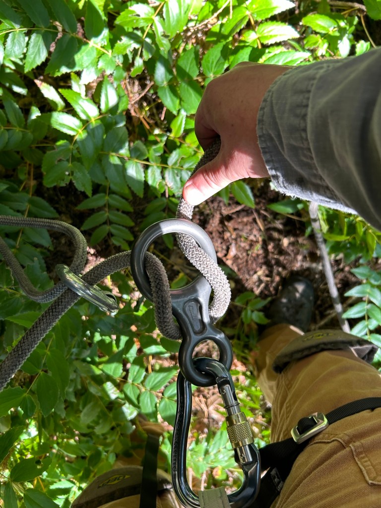
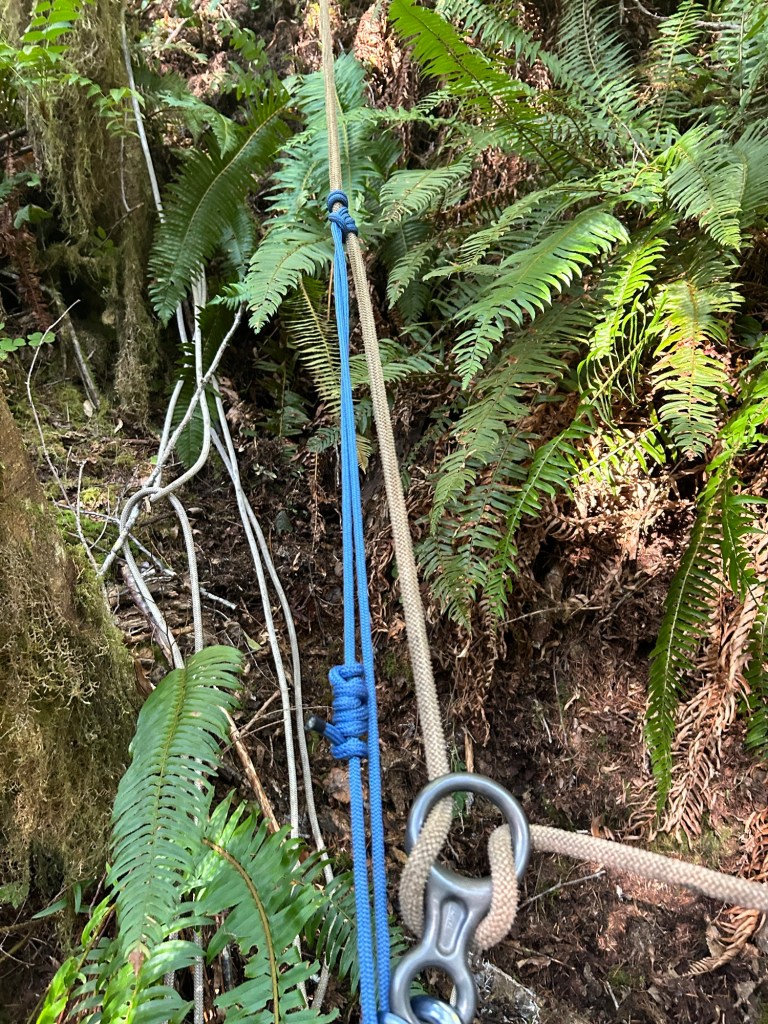
I completed a walking rappel down the hillside to the cliff out above the creek. I found a small knob I could stand on and I began to develop a plan to search the hill going up.
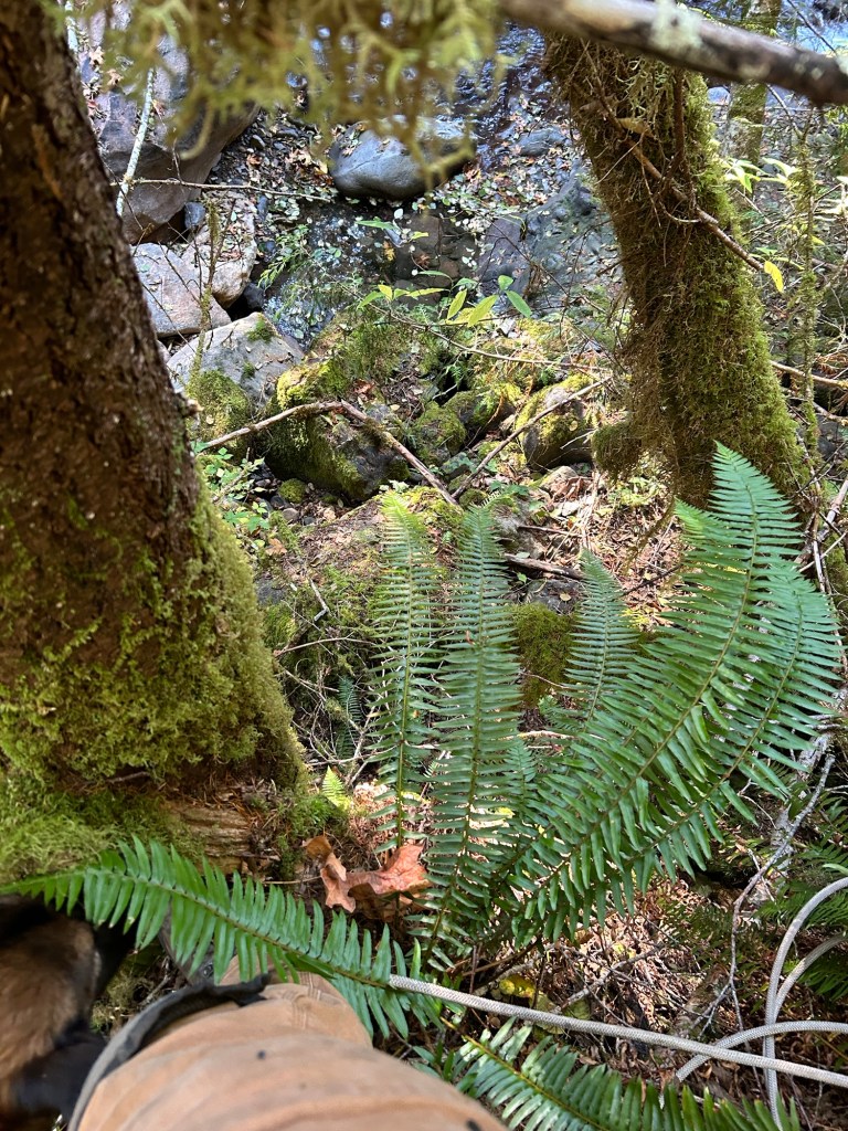
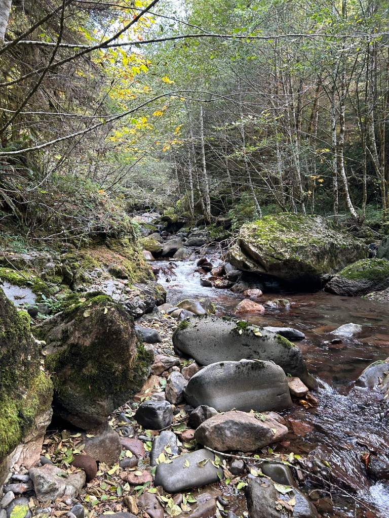
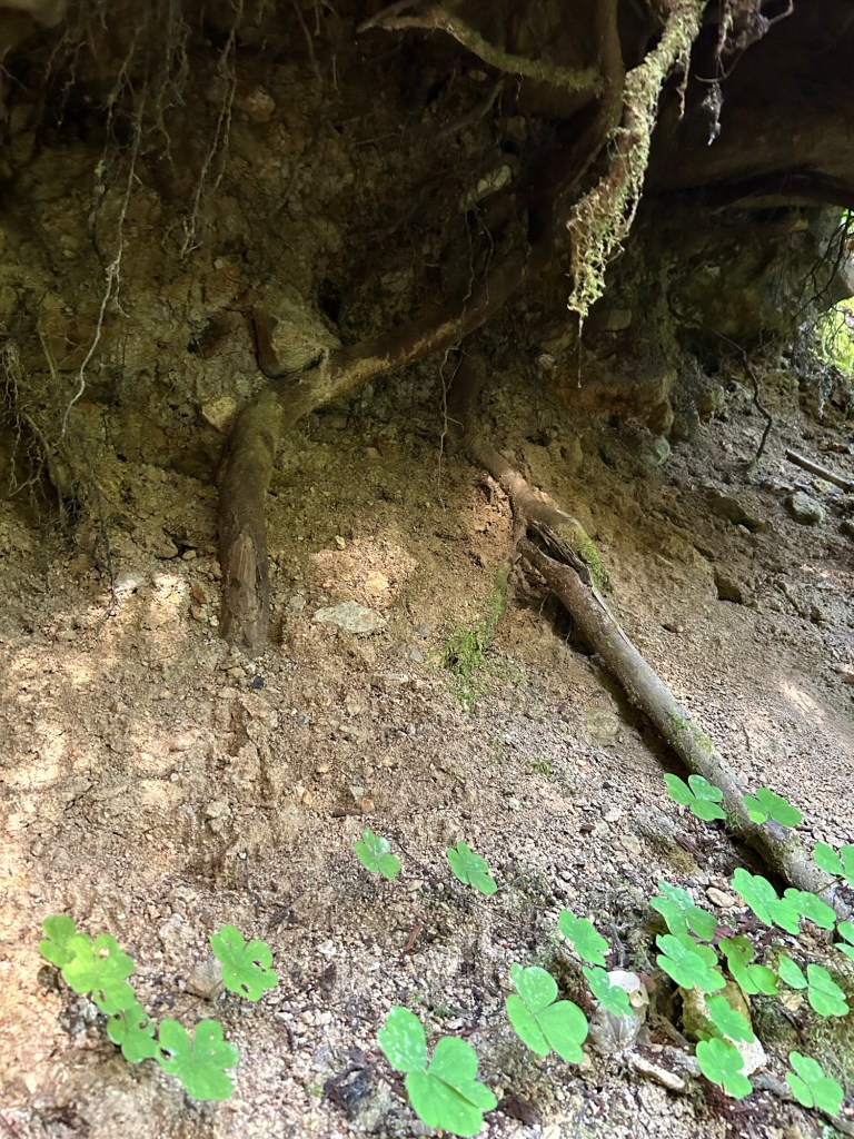
It isn’t exactly clear in the video, but the slope to the north (upstream) had a landslide at some point. The ground is extremely loose sandy soil and gravel, with a minimal amount of brush and moss holding it together. There were several trees that had gone over during the landslide event. Judging by the concave feature of that part of the hill, a decent amount of the surface slid into the creek. I found a drainage chute that allowed me to get into the creek bed, and I spent the first part of the search going through debris piles and the undercut bank along the stream.
The day was mostly spent crawling back and forth along the slope, clearing a double arm’s wide lane at a time, before changing direction and clearing another lane. With the assistance of the rope, and the relatively open ground of the slide area I was able to search about double the area I had planned on.
The discovery of the slide area does concern me about any remains being found. Anything that was in that area slid into the creek and would have been taken down stream in the spring run-off. I’m not saying that definitely happened, but a large surface area of the hill is gone, along with anything that may have been there.
Nevertheless, I laid out the flags for next week’s rope assisted search.

Your faithfulness to helping my family have closure is astounding. I still can’t believe some higher power has dropped you into our lives. We are blessed.
LikeLike
Thank you so much. I’m doing this for the families, and your appreciation for my meager efforts means the world to me.
LikeLike