Welcome back! I completed the first search of the 2025 season on 13 April 2025. The plan for this year is to complete the landing I’ve been working, landing 2, then search landing 3 and the Grissom site. I’ve been working on landing 2 since June 2023 and I’m only now feeling like the end of that work is in reach.
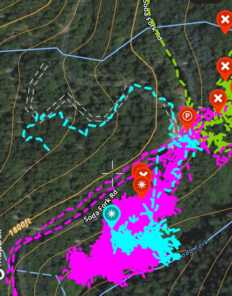
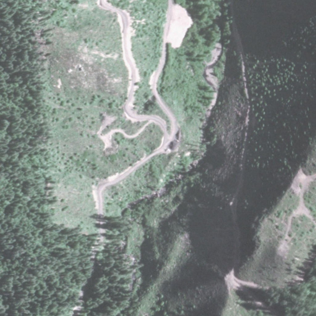
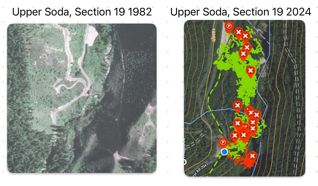
Over the winter I formulated a plan based on the 1982 BLM aerial imagery I obtained. In that photo of Section 19, there are 3 landings visible along Soda Fork Rd. At the far north is landing 1, which I cleared in 2023. Next up to the south is landing 2, that I have been taking apart since June 2023. The last landing in the section is landing 3, which is up a decommissioned logging road from landing 2.
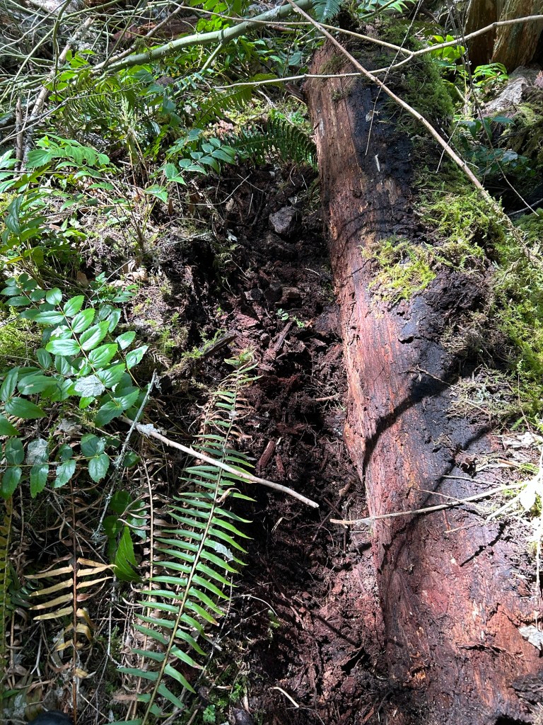
In the service of thoroughness, I am tying up landing 2 loose ends this spring. My work is focused on clearing the hillside between the searches completed on the south side of the hill with the searches completed on the north side. I also will be rolling logs in the vicinity of the wine bottle located spring 2024. John Arthur Ackroyd made some “idle speculation” during the search for Rachanda that the killer may have rolled a log over her remains to hide them. Knowing Ackroyd’s relative sophistication and habit of stating falsehoods rooted in fact, I decided that this would be a worthwhile approach.
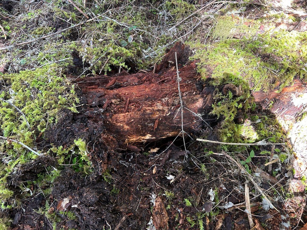
The wine bottle was located in a jumble of fallen logs and cut brush that may have been a slash pile at one point in the past. Starting from the bottle, I rolled logs back and cleared under them. I started with logs that I could move solo. I’m about the same size as Ackroyd in 1977, probably lighter, so a good starting point would be the logs I can move solo, like he presumably did.
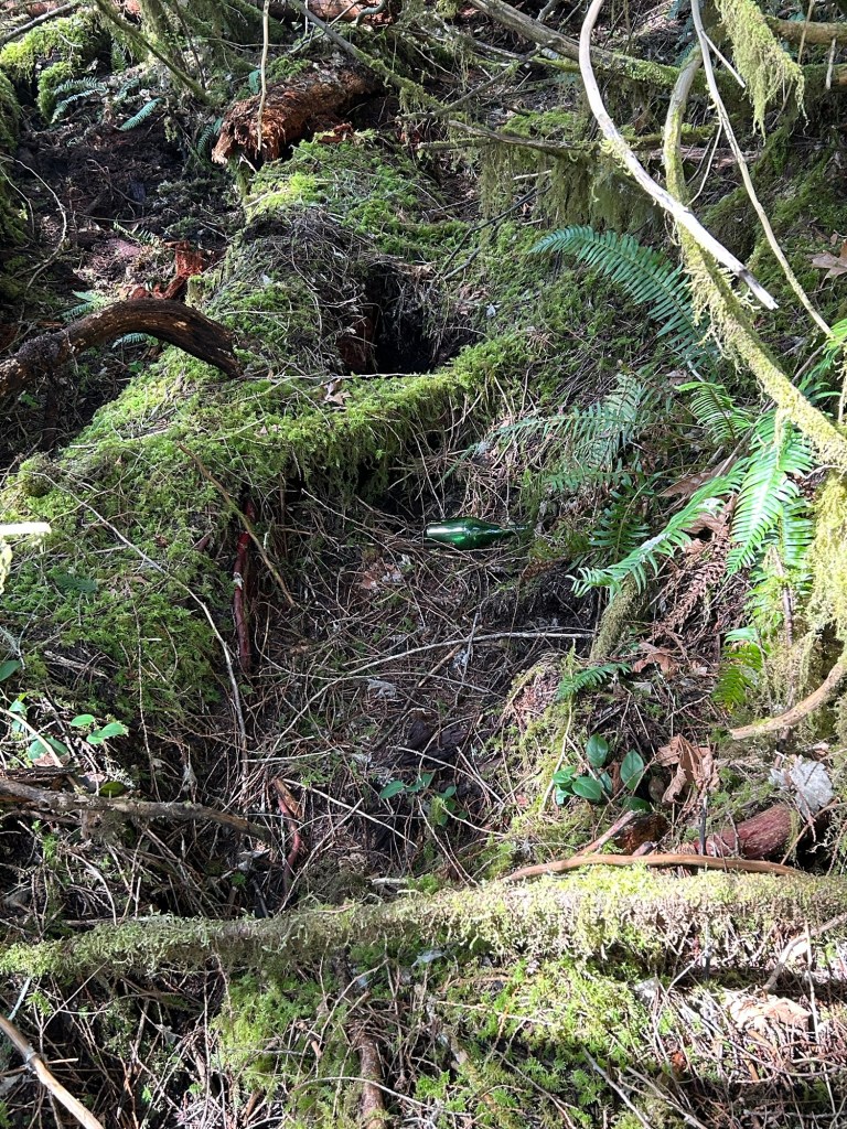
Working to roll and search under the logs, I am grateful that rattlesnakes are not generally found West of the Cascades. I found bark, soil, clay and rock under the logs I could roll back, and about the same on others I cleared holes under when they were too heavy to move solo. I’ll be bringing wrecking bars, turnbuckles and cables to move the others.
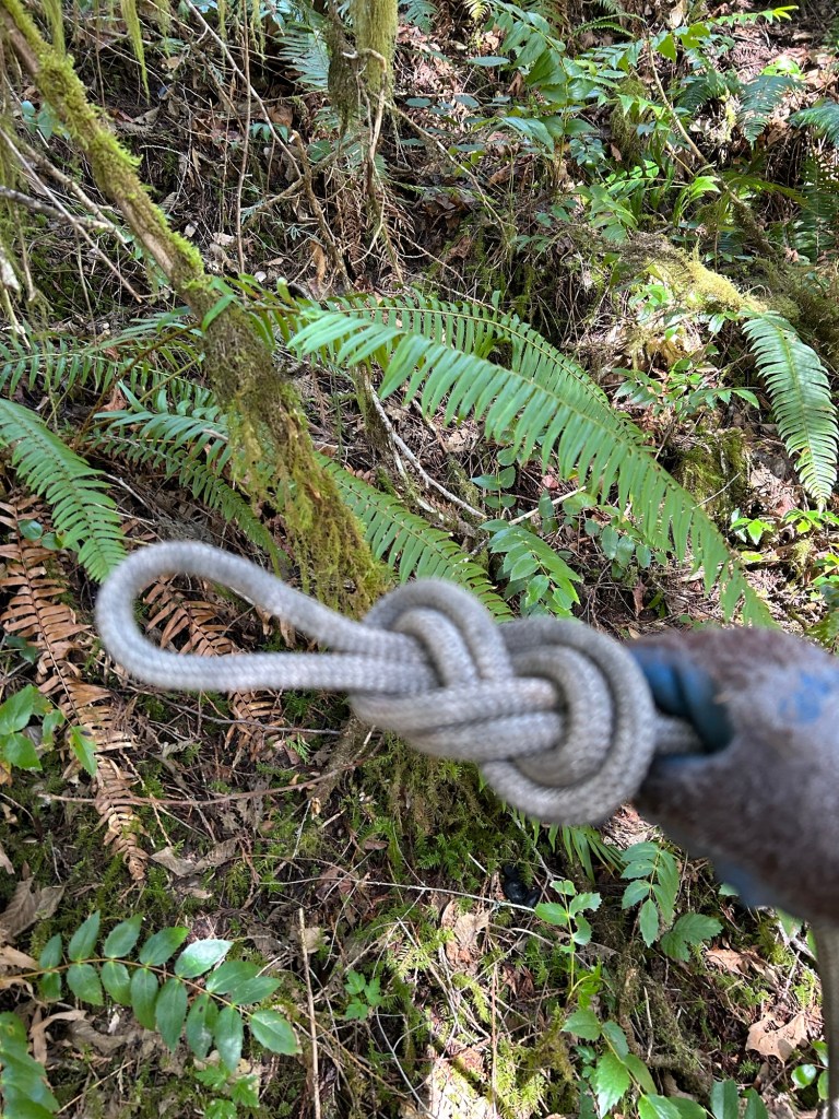
After completing the logs I could, I roped up and started working the hillside from where I stopped late last fall. I had the same plan as before- Set up a lane on the hill, descend on a rope to the bottom, then crawl up, grid searching the lane.
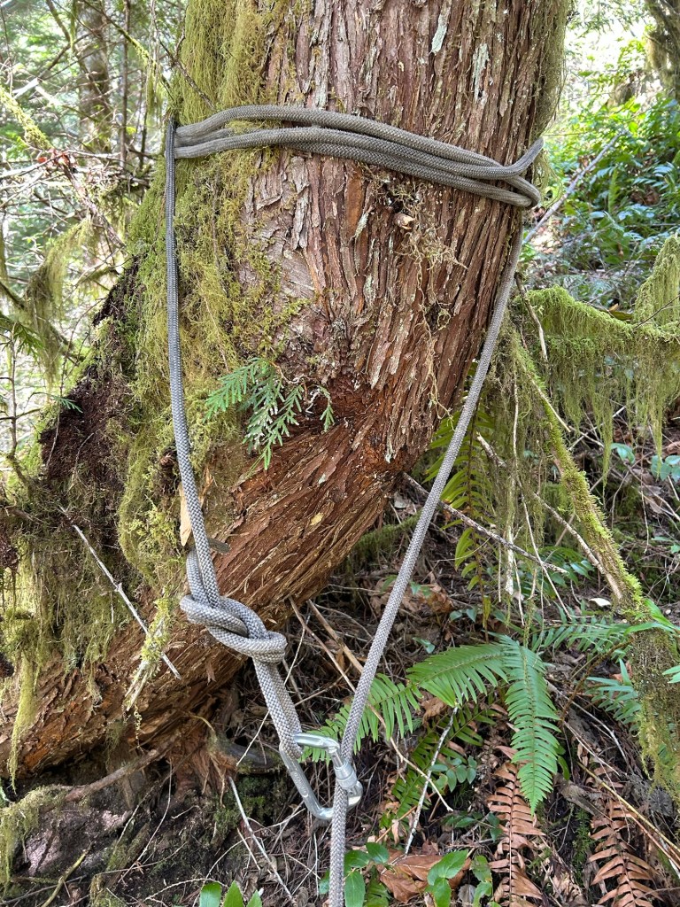
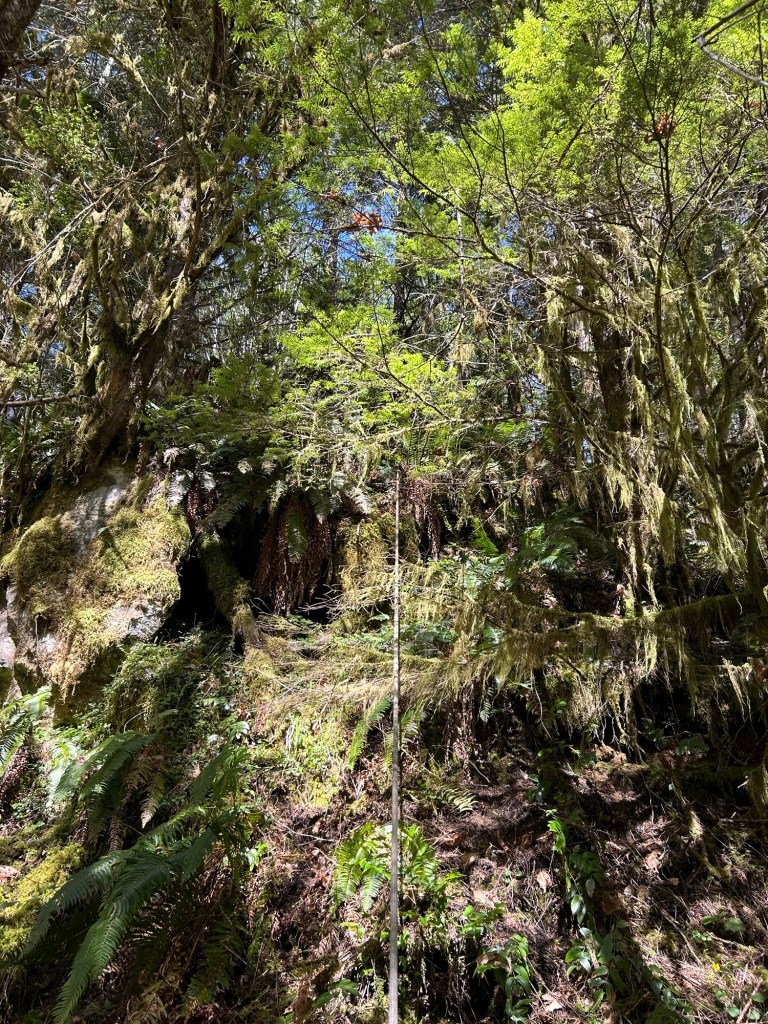
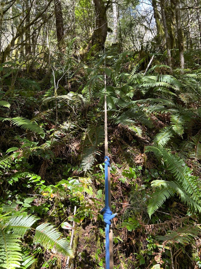
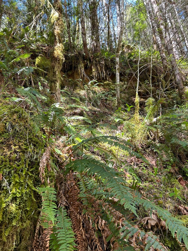
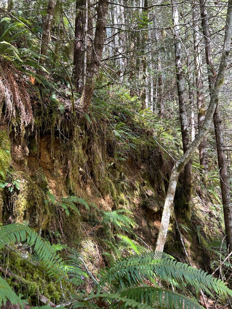
Searching the 60 degree slope went relatively quickly. It is steep enough not to collect a lot of debris and the ground cover is fairly minimal. I rappelled down to a bench above the creek, and worked my way up, sidehilling on my hands and knees across the lane. There were two large subductions where erosion caused the hill to slide into the creek. I skipped these parts as the ground was extremely unstable; it gave way under my feet numerous times and I had to rely on the Prussik to stop my slide down. If there were remains on those sections, they have long since washed into Soda Fork and been carried into the South Santiam River.
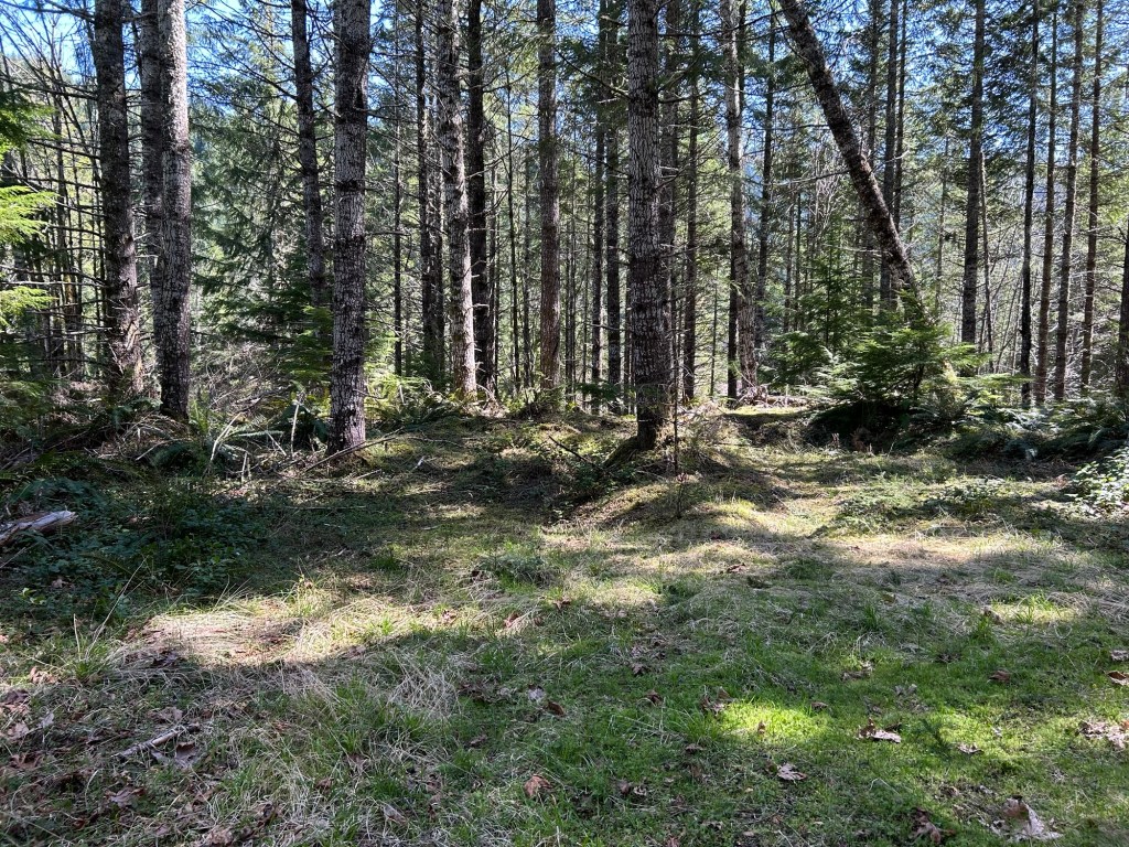
After completing the lane on the slope, I marked out the next one with surveying flags and then hiked out towards the road. Once there, I dropped my pack and climbing gear off at the truck and started walking up the decommissioned logging road to landing 3.
It was a fairly short walk to the landing; maybe 10 minutes. The road is still relatively passable, and there were ATV tracks and shotshell hulls proving the presence of others in the past. I was slightly concerned about locating a landing that had been abandoned for probably 40 years, but it was still there, a large open area in the forest.
On my next trip, I’ll complete a site survey of landing 3 and search the lines of drift leading from it.