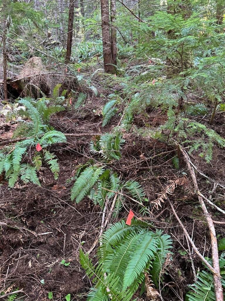
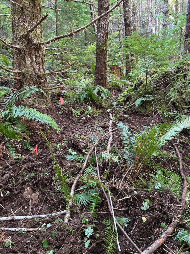
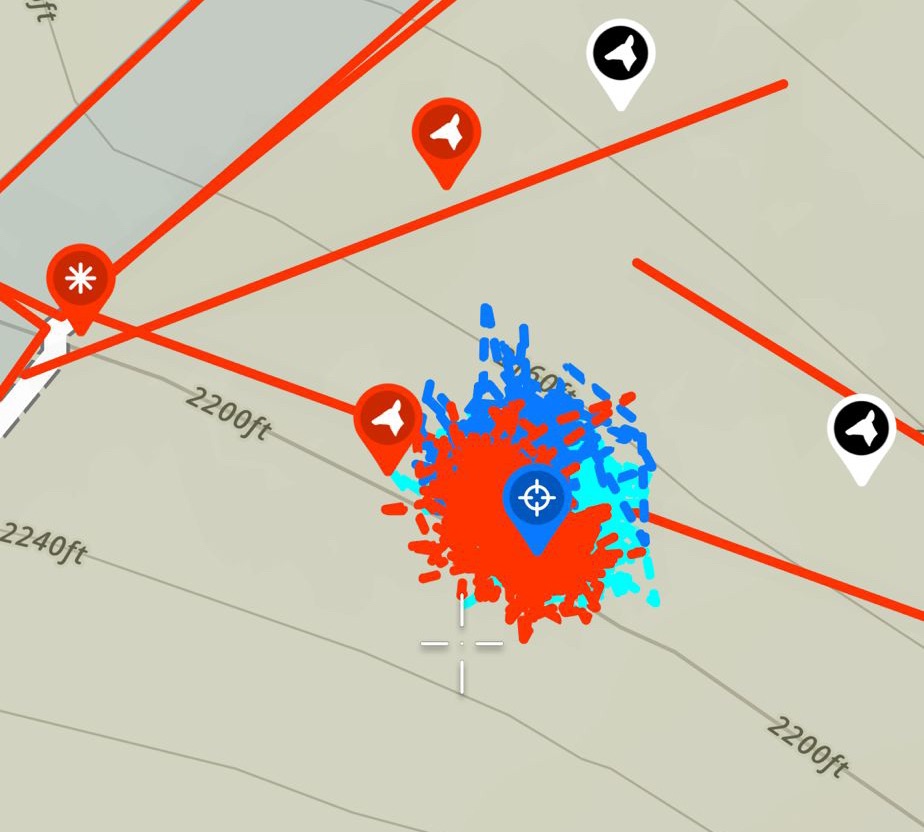
Temps were cool in the morning, then rose up to about 80 in the afternoon. I was able to complete the northeast quadrant of the grid. I had an “L” shaped segment left to search. The short leg of the L ran from where I stopped last weekend. It ran north-south and was a couple of lanes wide to reach the stump at the center line. The long leg of the L ran east-west for 50 ft, and was about 15ft wide.
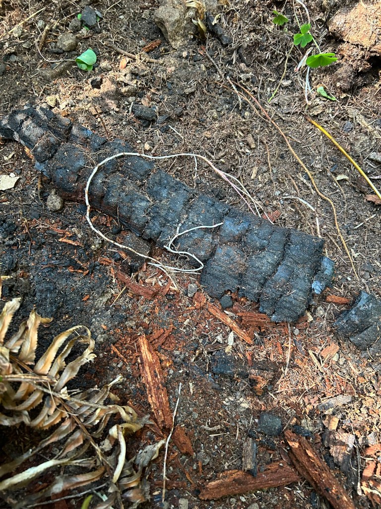
The short leg of the L and the first 1/3 of the long leg took the longest. This area is closest to the center point where the HRD K9 indicated, so I went slow and methodical through this area. There is evidence of a low intensity fire at some point in the past. The old growth stumps have some fire damage around them, and there are coals and partially burned dead fall in the deepest layer of duff. None of the current trees have burn scars and the understory and ground layer is very verdant. I checked a few sources and couldn’t find information on a fire occurring in this area. I’m hoping that means the fire was pre-1977. Evidence of the burn is throughout the saddle.
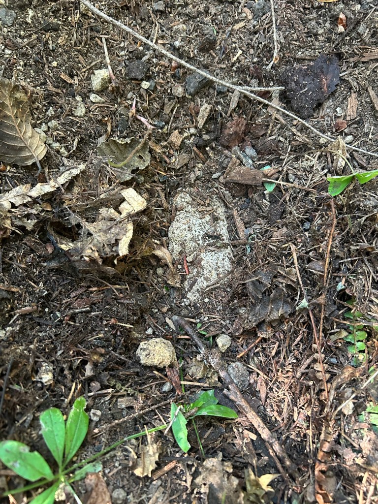
Some of the rocks in the soil layer look remarkably like bone, and three similar to this were discovered during the day.
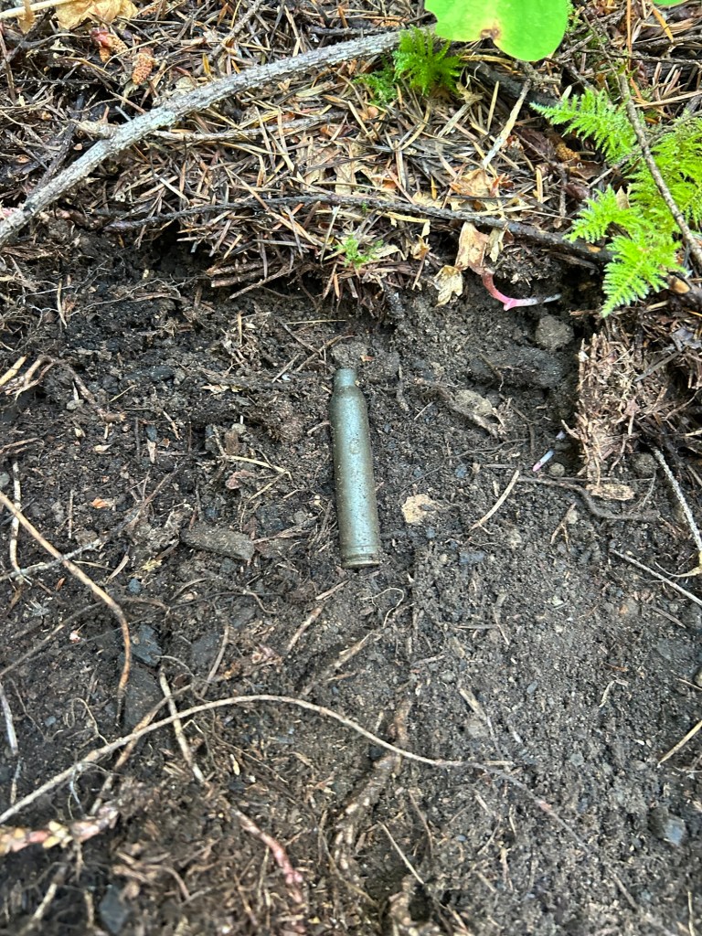
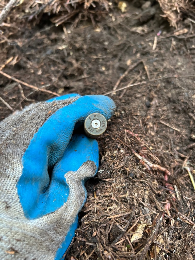
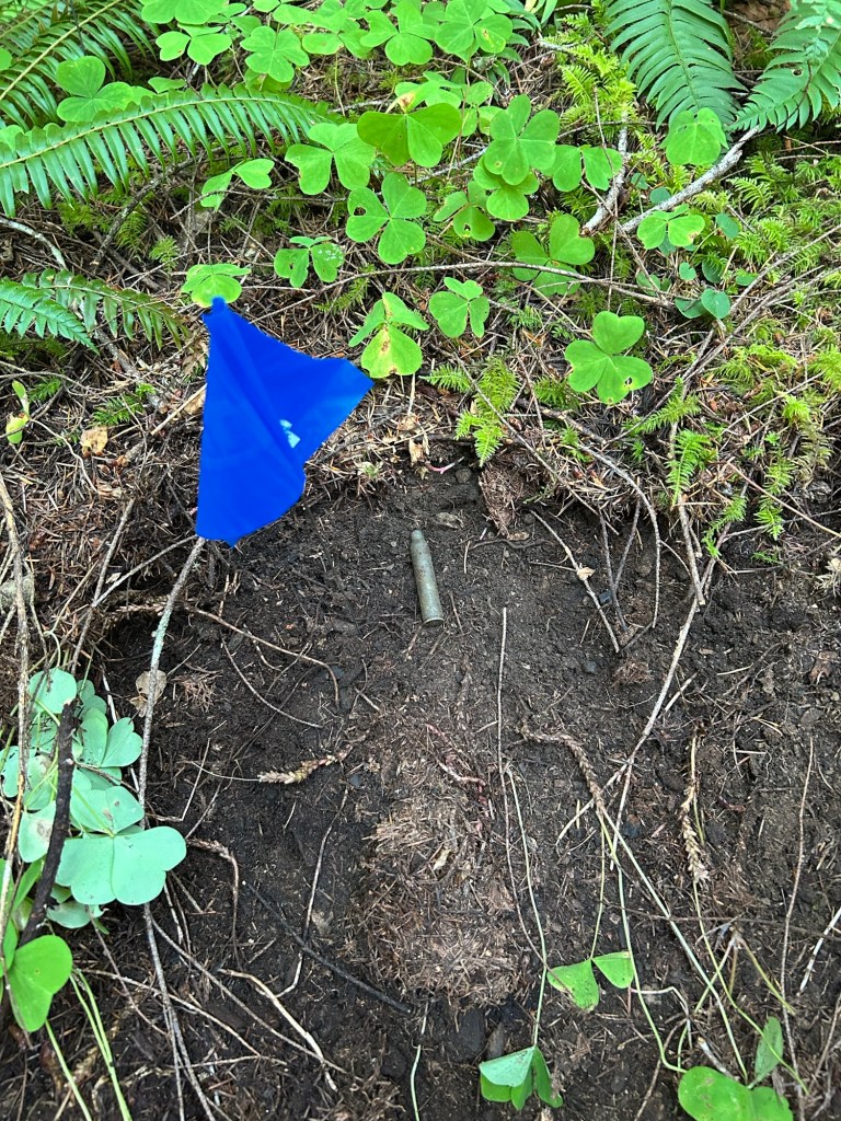
The most interesting item found was later in the afternoon, I found a 300 WinMag shell casing along the long leg of the L. It was been the first man-made object I’ve found in the grid. It was most likely ejected by an elk hunter, and probably not too long ago. The casing is tarnished and lightly pitted, but not yet deeply corroded. I’m guessing it laid here less than 10 years. I still flagged it and added a way point.
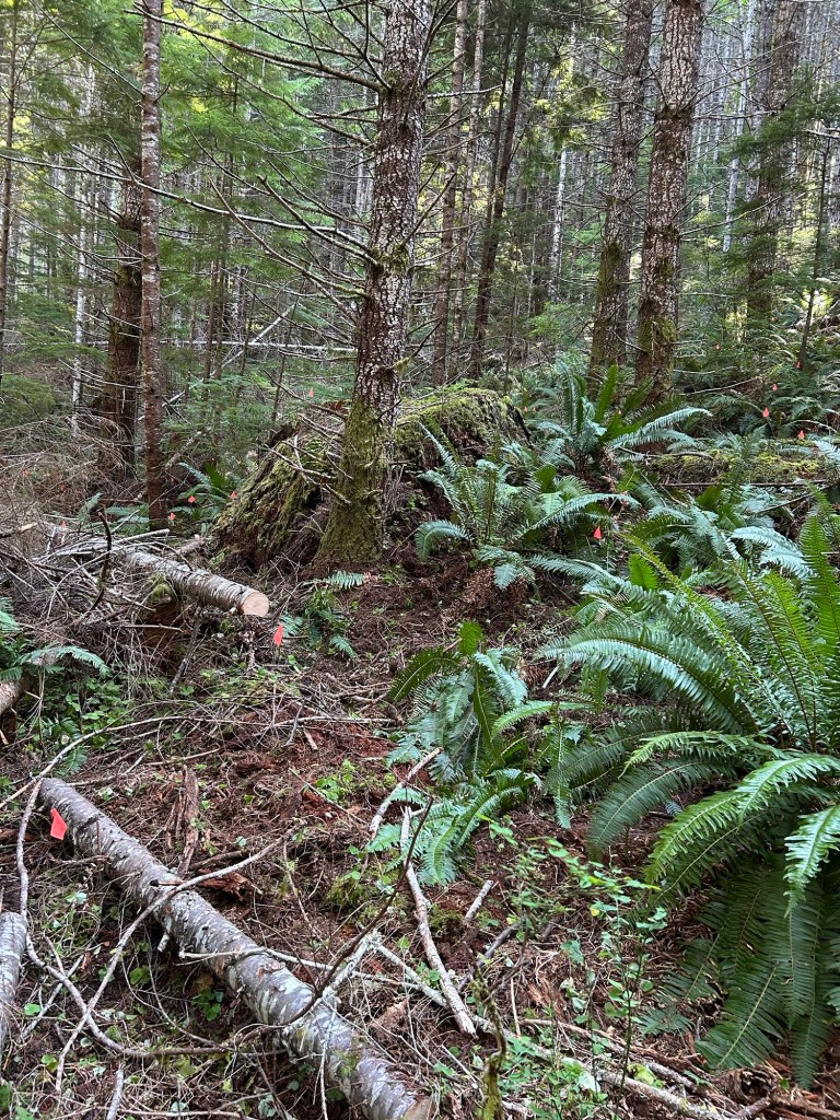
I finished the last bit and felt pretty satisfied with getting this quadrant completed. The next one will be the adjoining northwest quadrant. It’s more open, with less deadfall.