12 July Site Survey of the Alternate Location

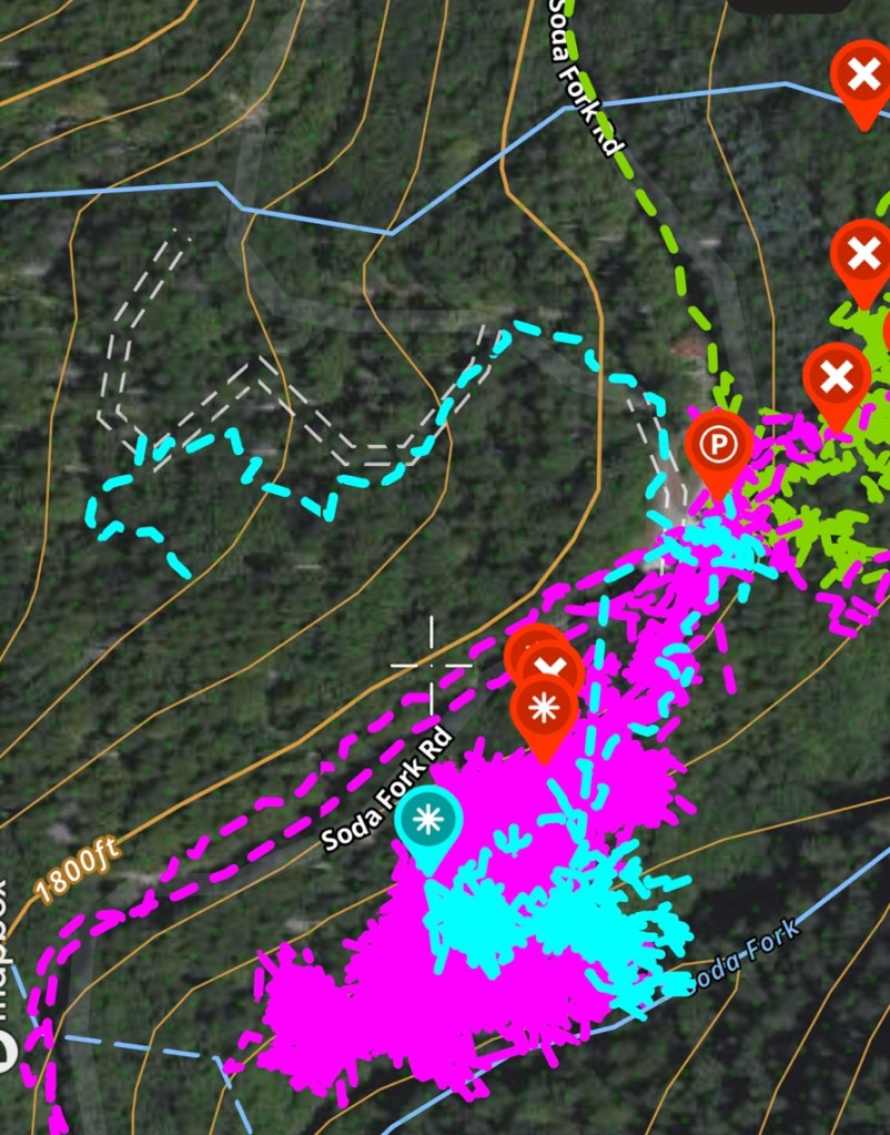
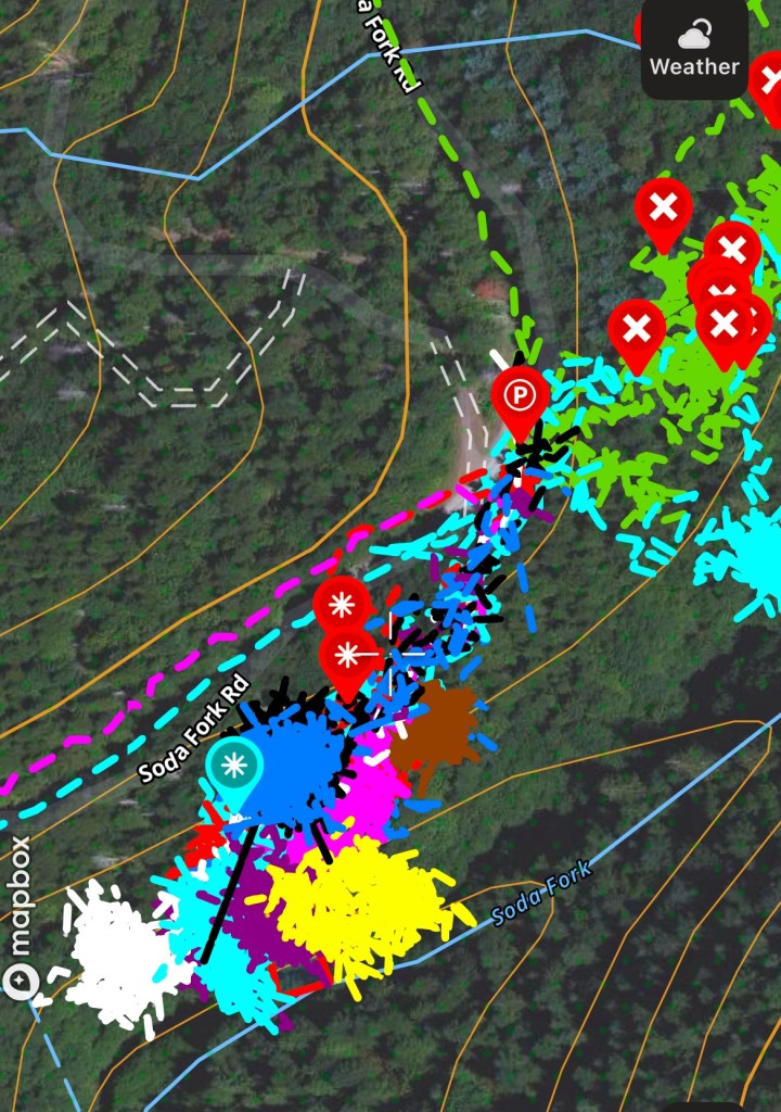
I got out early trying to beat the heat for a more in depth look at the area around 3 Mile Landing, in particular the area where the road ran out past the landing. I brought a silky saw with me to open up passages through some of the deadfall, but that got exhausting quick. I have removed proper place names.

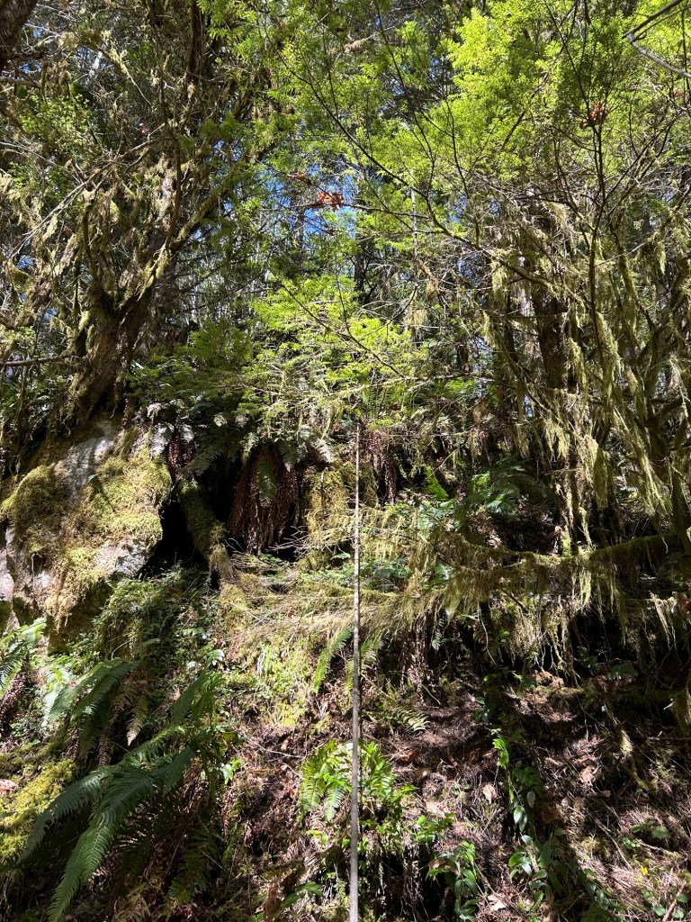
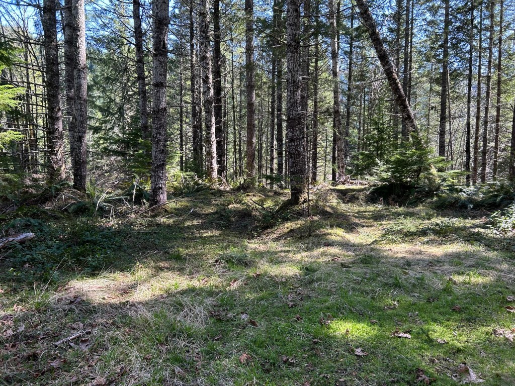
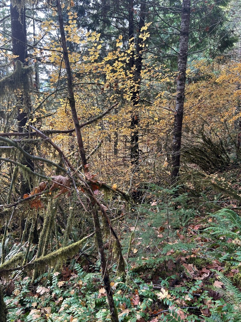
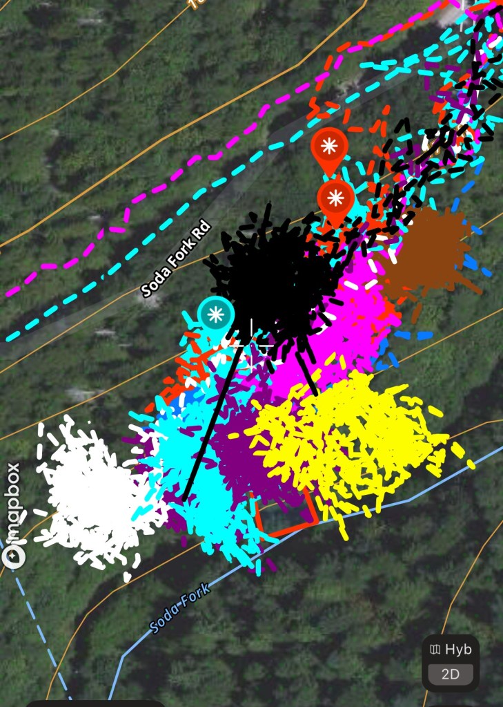
I walked from 3 Mile Landing to the End of the Road, which once I walked past the sea of ferns, was actually a large landing. Large enough to allow an entrained log truck to pull-through and complete a turn-around. I used my GPS to measure the distance from the center of 3 Mile Landing to the End of the Road and it was 155 yards. Doing the math, if LT Martinak crossed 3 miles on the odometer at the first landing, the odometer wouldn’t have turned over yet to 3.1 miles by the time he parked here. 


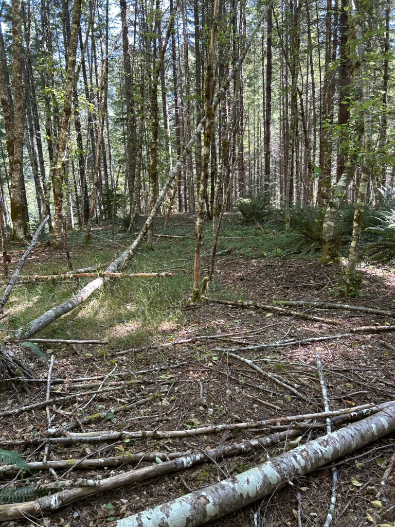
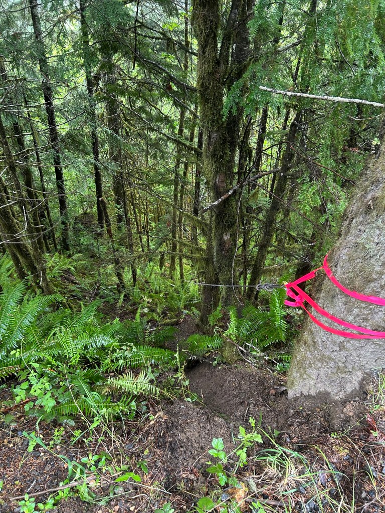
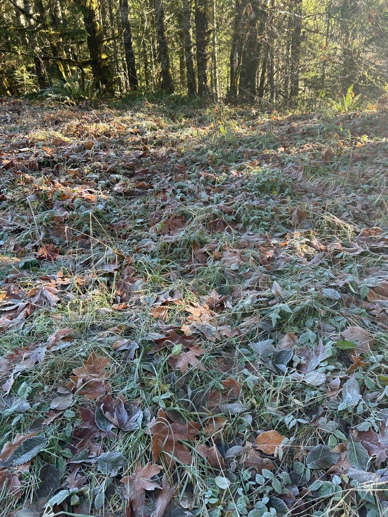
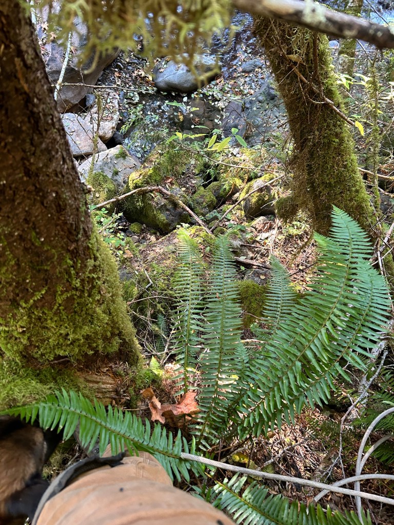
The End of the Road. A large landing 155 yards from 3 Mile Landing. 

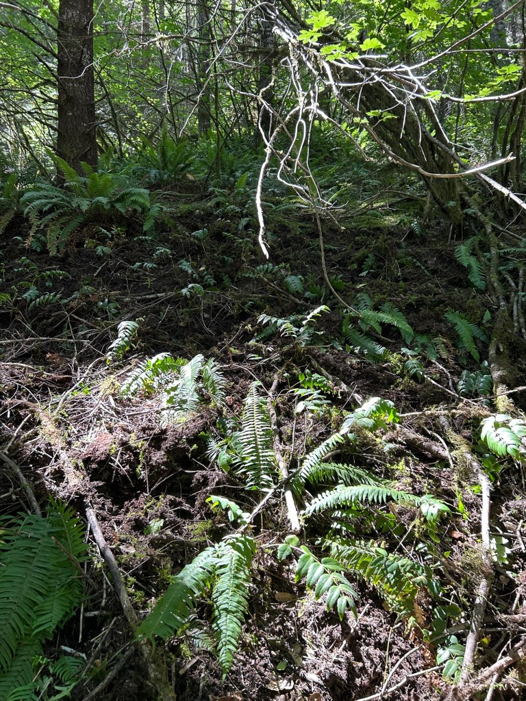
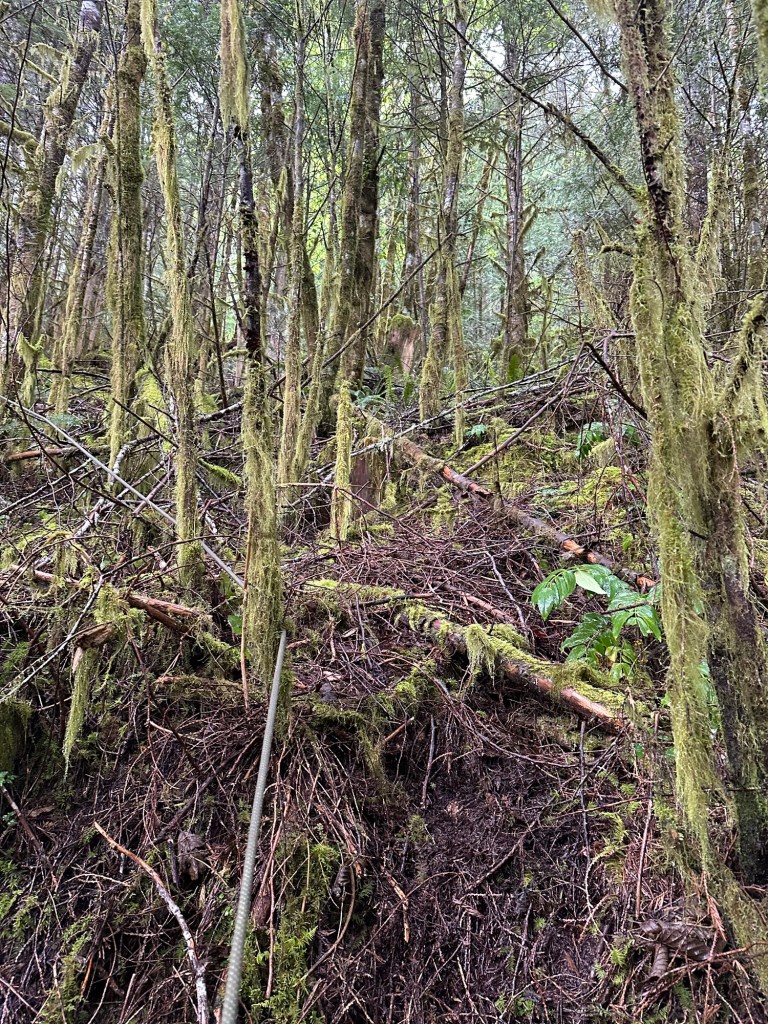
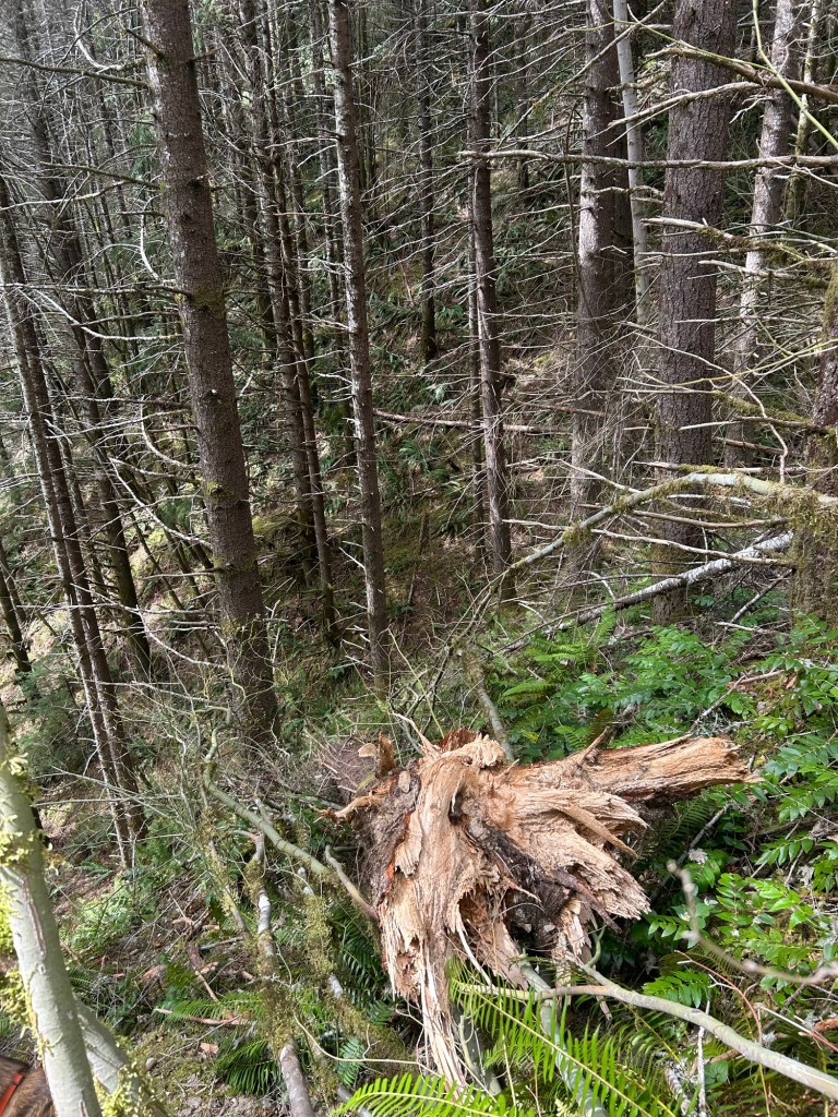
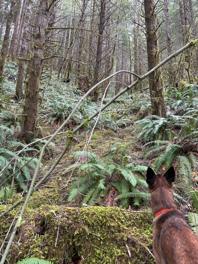
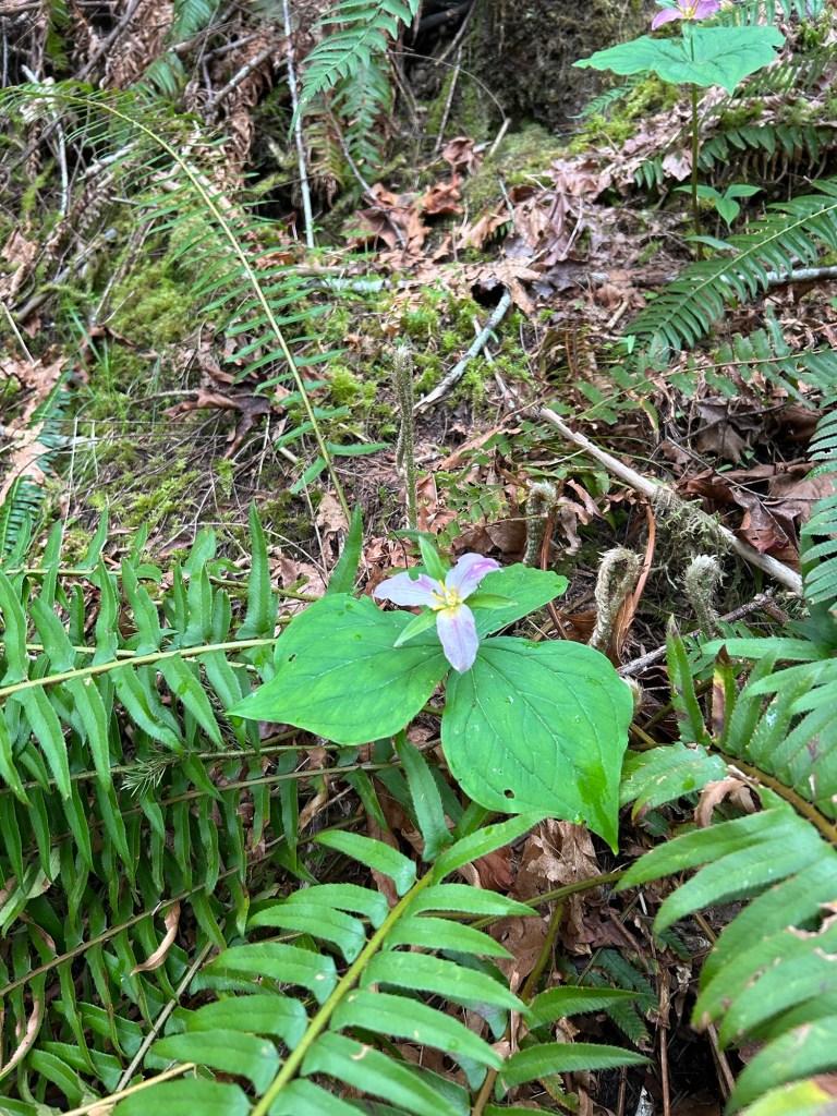
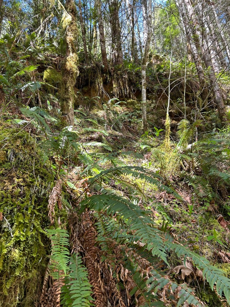
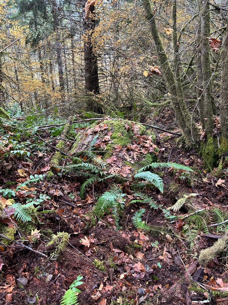
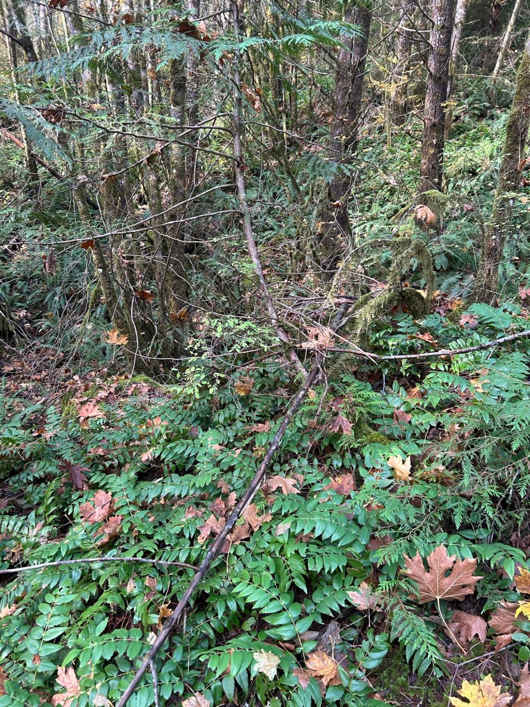
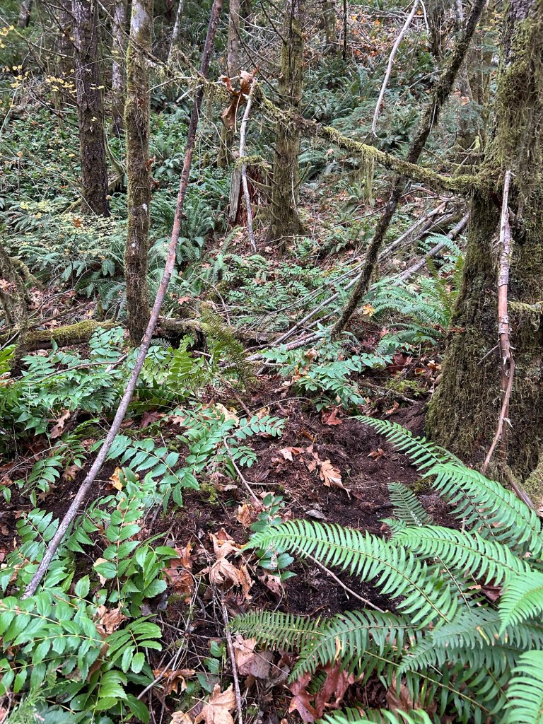
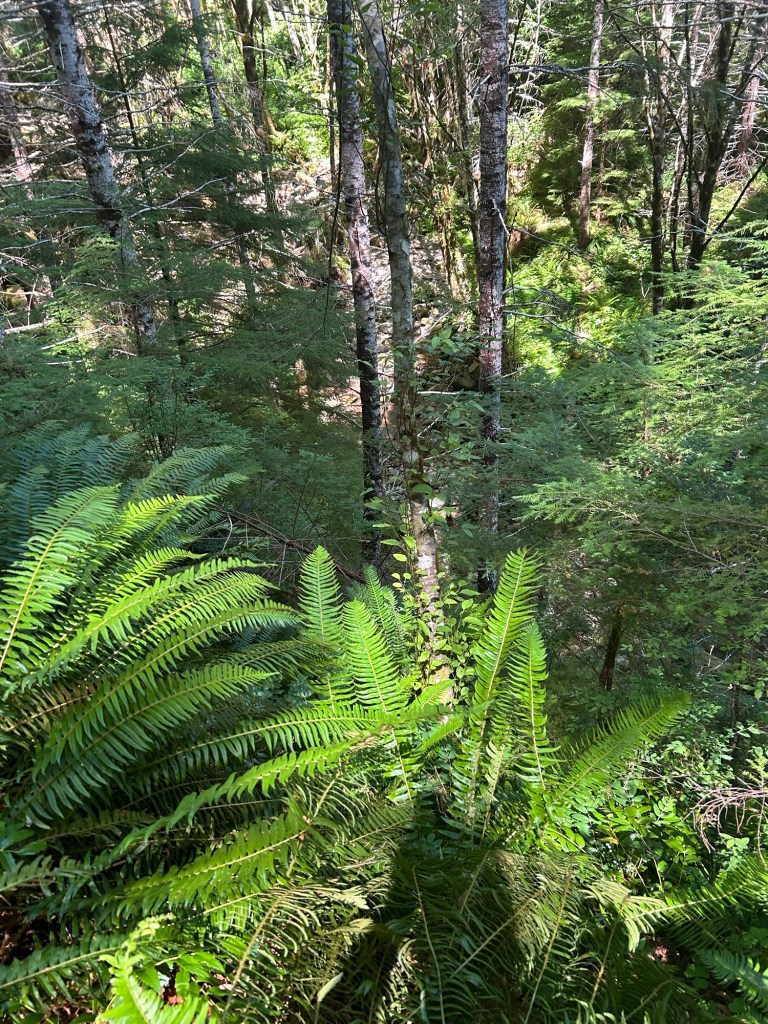
After I walked the perimeter of the landing, I determined that no-name creek, the hillside to the immediate south of the landing and the most walkable path from the landing all channel foot movement in one direction, to the east-northeast and Named Creek. Walking east-northeast from the landing, there is a game trail down the slope that runs towards the opposite low hill. It’s a very easy walk, unlike the slopes from Landing 2 towards Soda Fork Creek and the draws / spurs across from (presumably) where Rodney’s clothes were found in Section 19. Based on current conditions, I could see a victim in smooth soled moccasins being able to walk this hill. Also, if an offender at 5’10” and 225-250lbs had to fireman’s carry the deceased 128 pound victim down this hill, that would also be very possible here. From the End of the Road, it is 314 yards to the timber boundary. There are two draws around the hill that channel movement to the timber boundary. The one that side hills Named Creek is 176.5 yards to the timber boundary. The draw on the south side of the hill is 218.3 yards to the timber boundary. 

The slope down from The End of the Road towards Named Creek. It is fairly gentle by Section 19 standards.

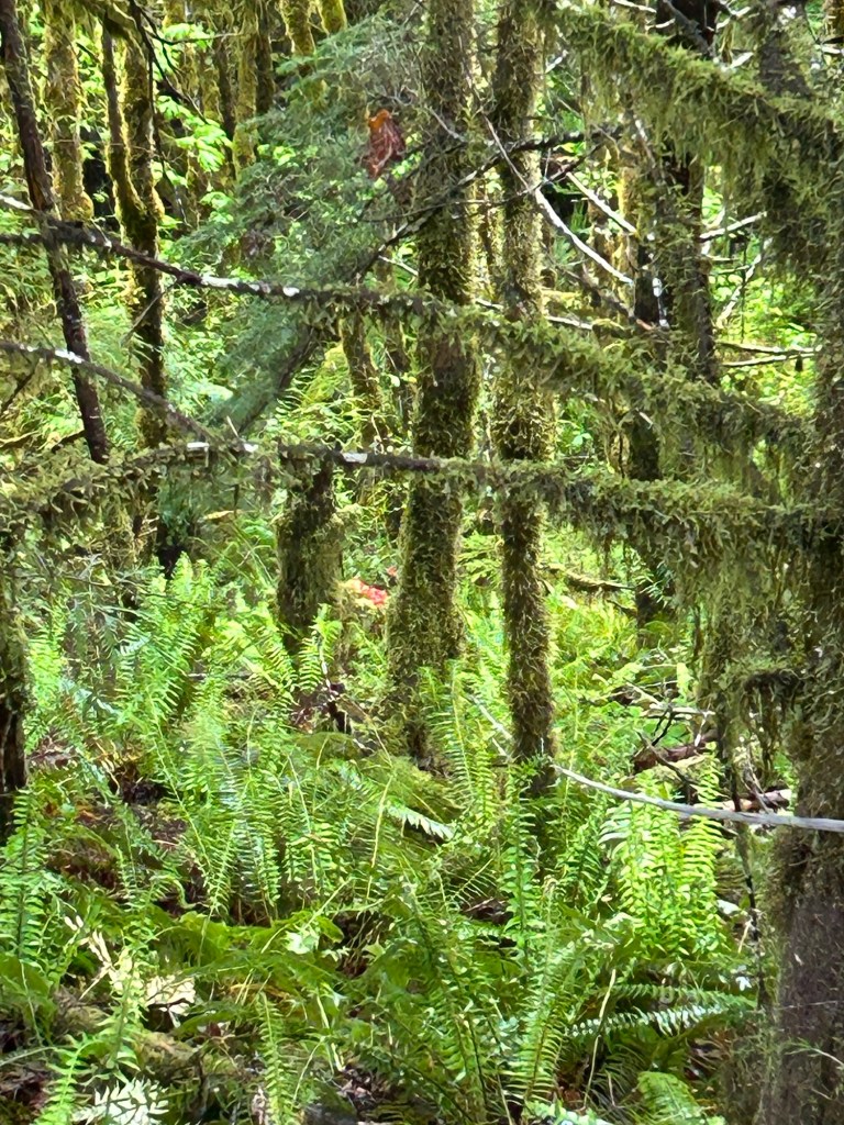
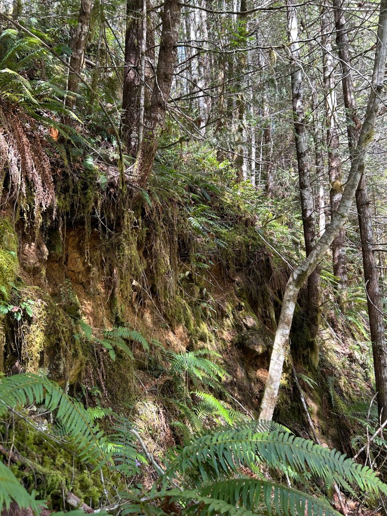
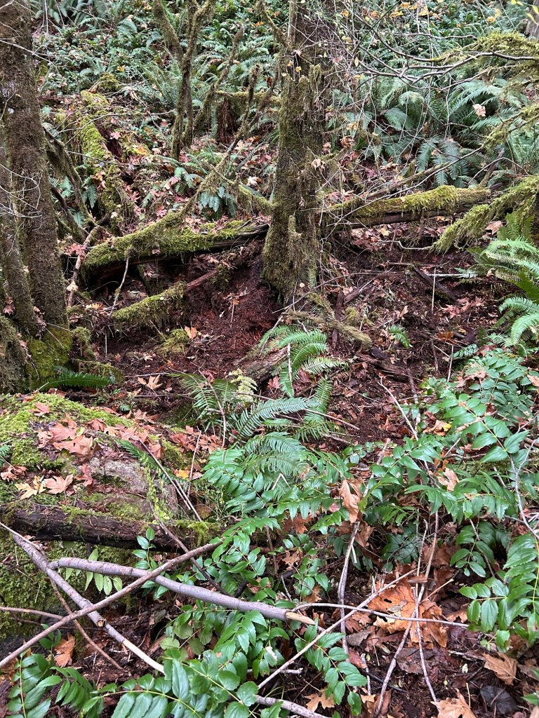
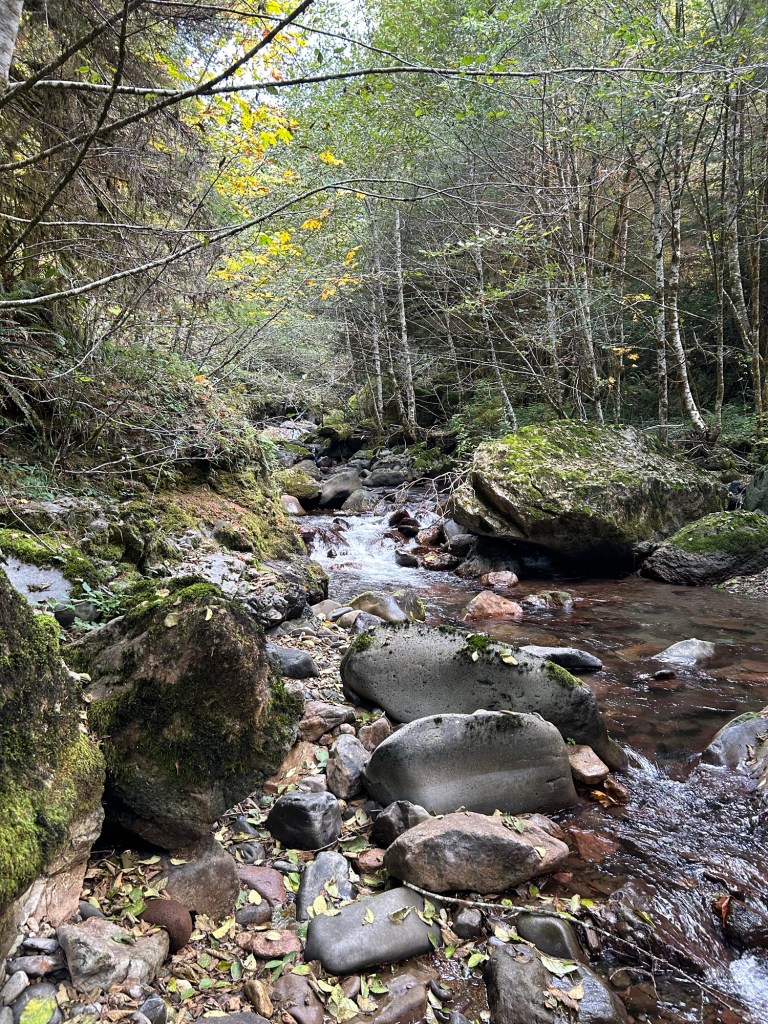
Named Creek is a definite barrier to movement. The V bank is about 30 feet down, across the creek then up a hillside on the opposite bank. It’s a steep bank, and I can’t see either an offender and living victim or offender carrying a deceased victim crossing that obstacle only to keep climbing the other side. 

The V bank down towards Named Creek. The opposite bank is a hillside.

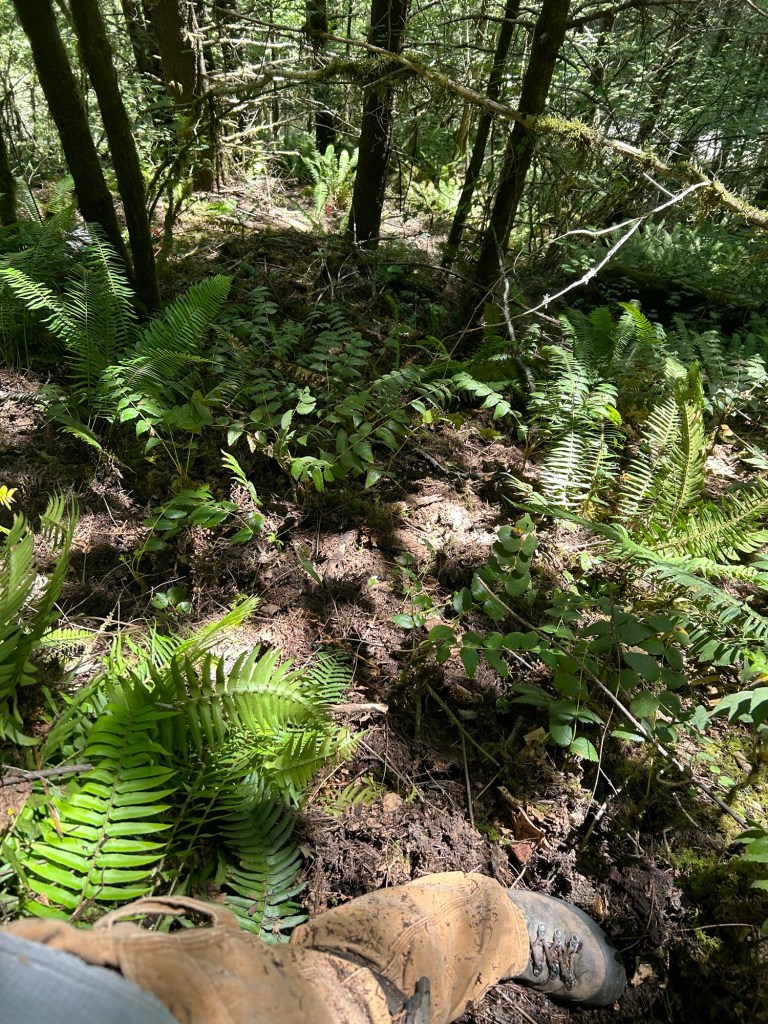
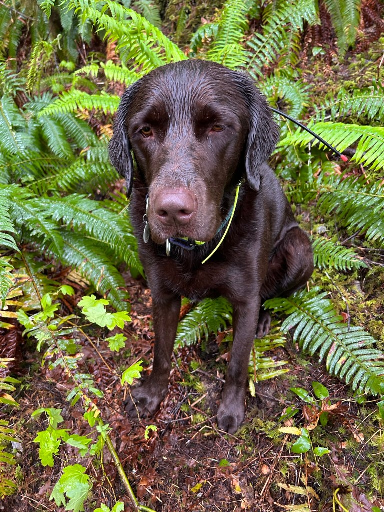
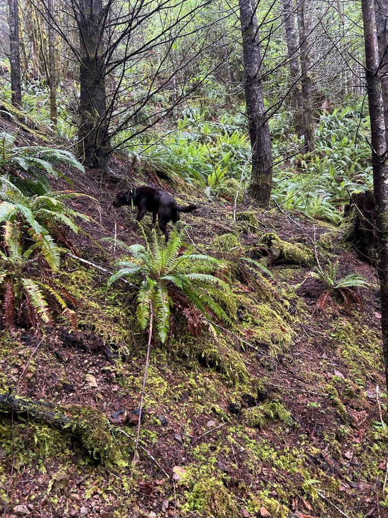
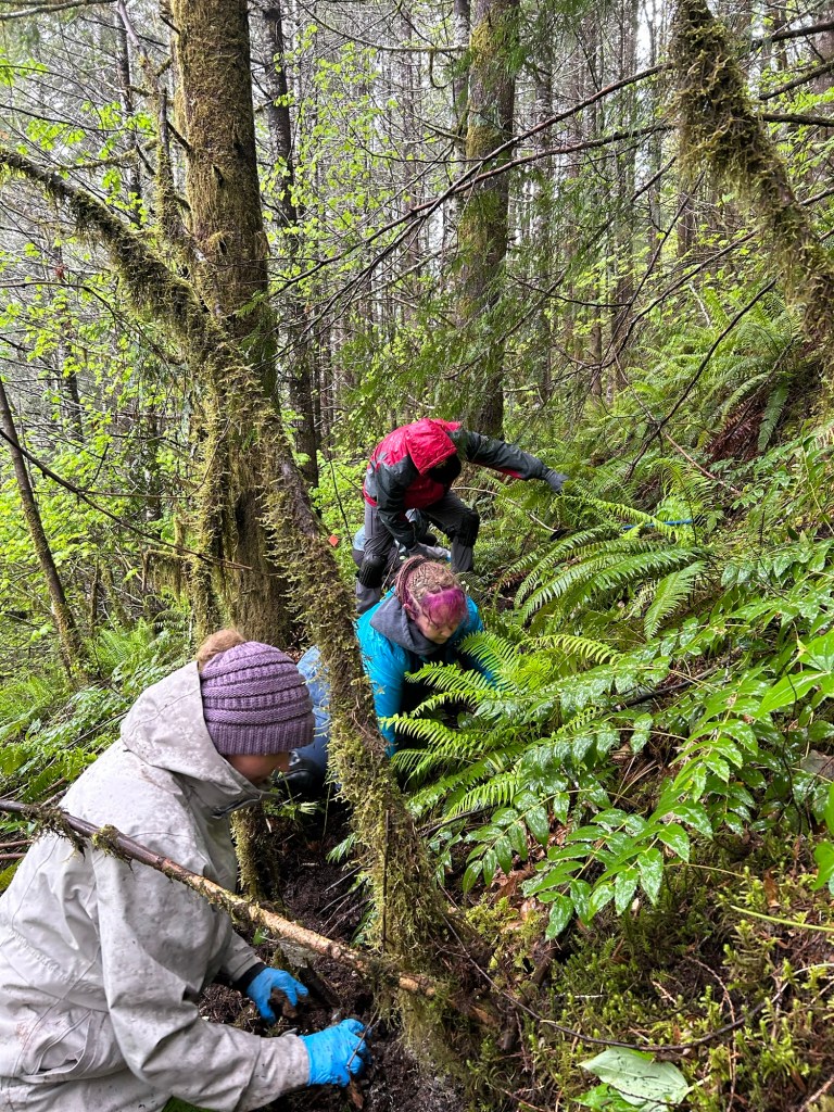
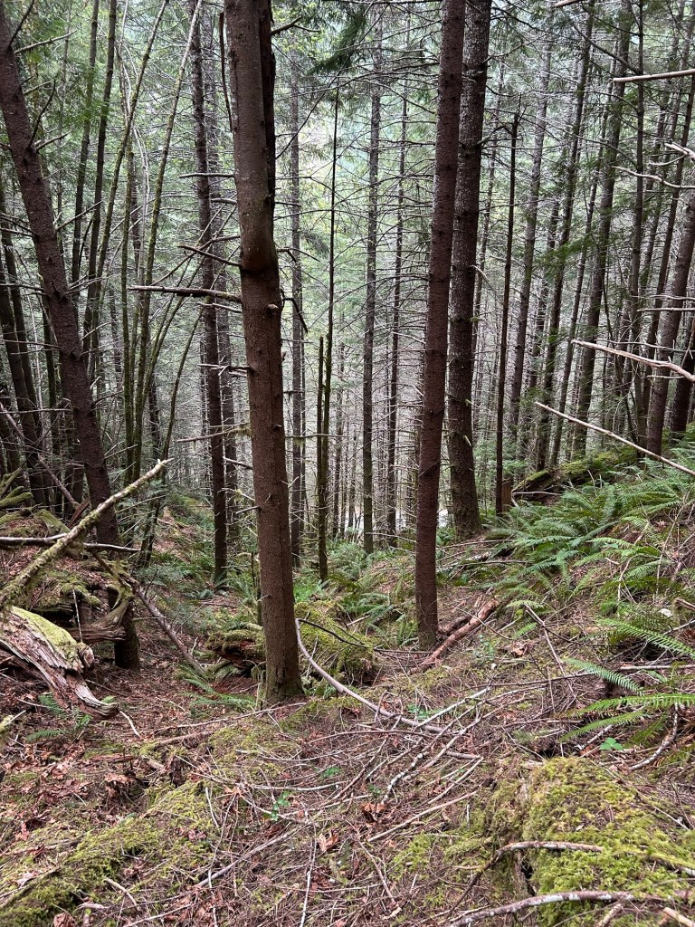
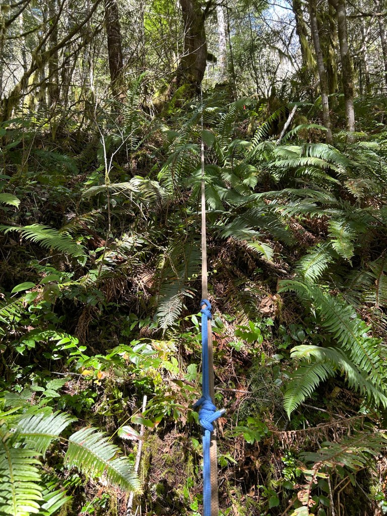
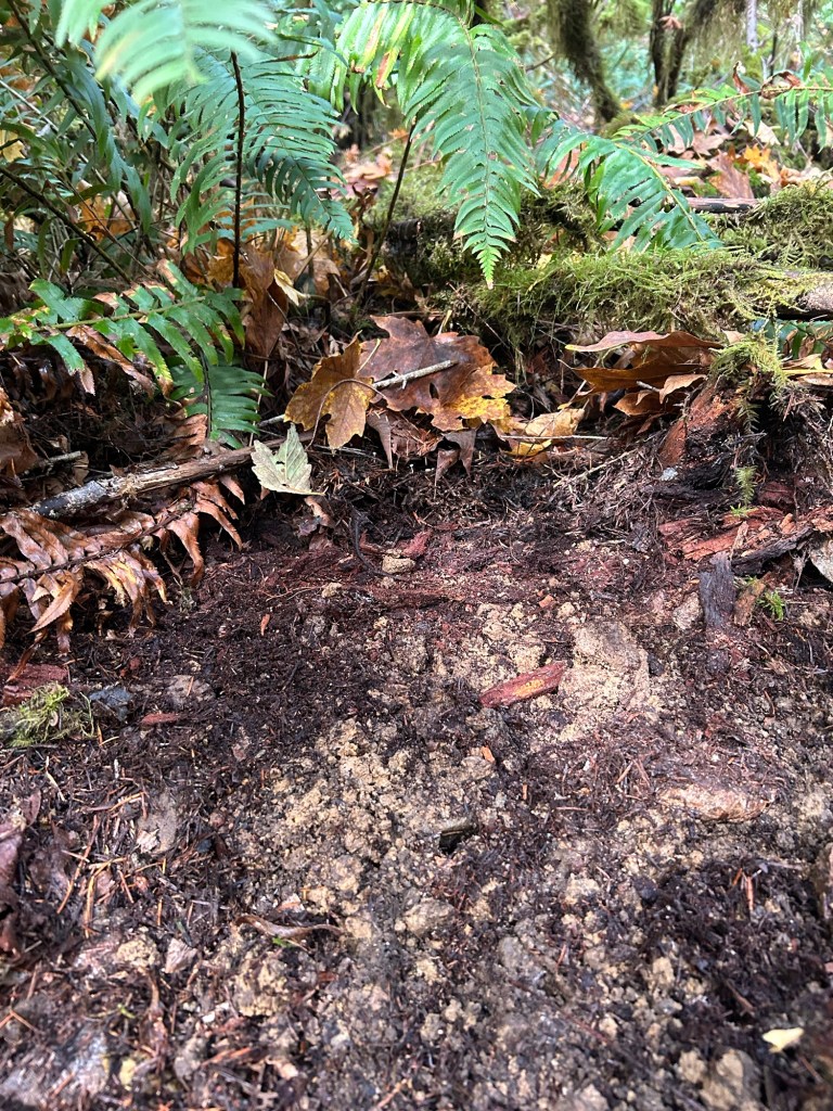
Each draw that runs towards the timber boundary has benches along the way, so not a pure side hill to walk that way. I marked off areas to run HRD dogs through based on the terrain. I did not grid search this area since I wanted to keep intact any detectable odors. 

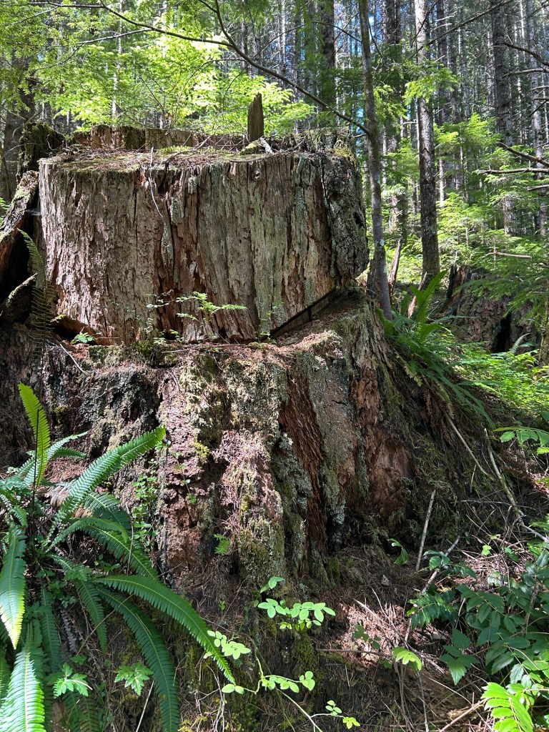
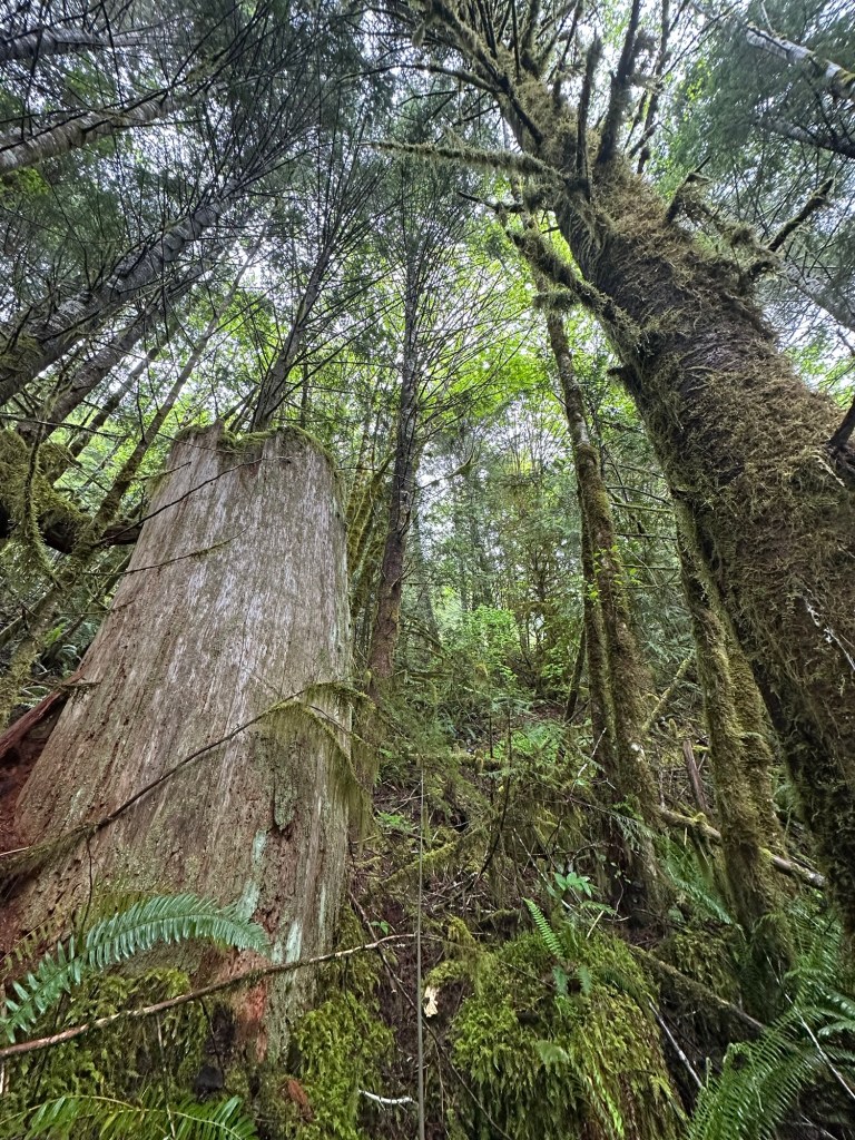
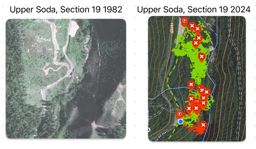
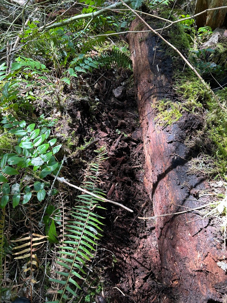
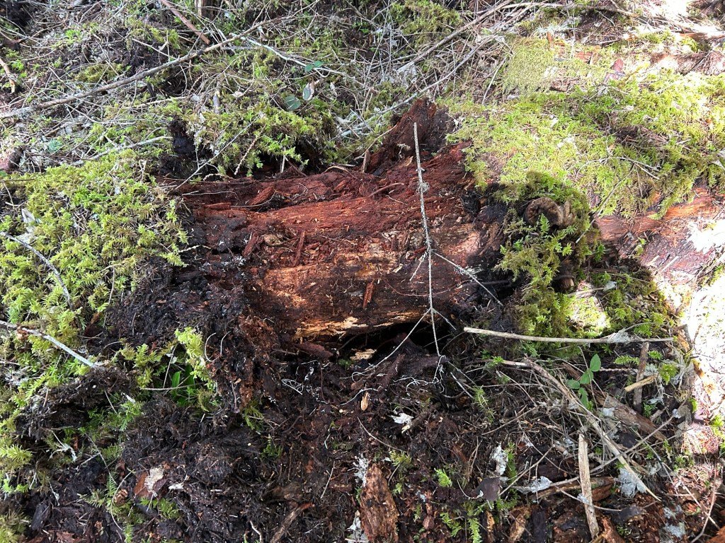
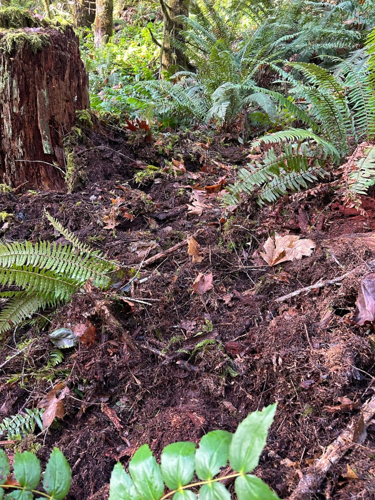
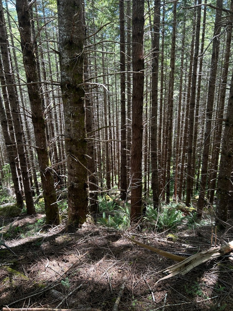
I also was able to confirm that the timber harvest in 1977-1982 in this section would have been second growth, which matches all the descriptions of where Karen’s clothes were found. I found high top stumps with buck board notches when this was old growth harvested in the late 1800s to early 1900s.

5 July 2025- Site Survey of an Alternate Location

I went out to Soda Fork Saturday and completed a site survey of the area outside of but adjacent to Section 19. I identified this area based on a February 1978 Albany-Democrat-Herald article about the search for Karen’s remains. Since I’m down to the last 4 acres in Section 19 that align with the known location data, I’m now expanding out from that part of Section 19 into alternate areas.

This particular article had sat off to the side for the past few years, mainly because the location data within it was not in accordance with other articles and the LCSO case file summary provided to the Oregonian. Since every reference except this one pointed to a landing in Section 19, I focused there at the beginning, intending to examine the singular outlier after closing out Section 19.

With 4 acres left to search in Section 19, I’ve started the work up to prepare for a search of the outlier area. First steps were topo maps, historical aerial imagery, LiDAR scans and working through the thin documentation to identify landings within the new area. Once I had those identified, the next item was a site survey and developing a plan to search the new areas.

What drew my attention to this area, is that other than the section it is in, it does fit all the other location data. The road leading to it is labeled “Soda Fork Rd” on older topographic maps; it was an area of active timber operations at the time; the landing locations and terrain align with reports. It also ties to other Ackroyd dump sites by the environment, and that it’s an area with game animals or other outdoor rec opportunities.

During the survey, I determined that the road to the location exists and is mostly drivable. I was able to find all the spur roads and landings north of the main line, although there had been zero maintenance done on the main line or any of the spurs since probably the 1980s. I identified two initial search boxes based on the terrain, and that the landing associated with them maps the outlier location data almost precisely.

This is my next search area once Section 19 is completed.

7 June 2025 Ground Search

I’m continuing my plan for this year, which is grid searching out a pair of draws and spurs that line up with several, but not all, of the reported accounts and official documentation from LCSO. I’m in an area that is 1/4 mile downhill from a landing and is in close proximity to other areas of interest in this case. This is the area my friends and Trooper the cadaver dog started working on 16 May 2025, and I’m going to continue that work.

The weather this trip was the opposite of the 16 May search. It was hot, dry and very dusty. Honestly, these would have been great conditions for Trooper, certainly far better than 45 and pouring rain. The objective for the day was to mark out another box, this one to the east and uphill of the area cleared by the team last month.

I arrived early, knowing that the area I wanted to clear would take most of the day to cover. Remy and I walked up the draw, I dropped my pack and marked out the box for the day, while my supervisor made himself comfortable in the undergrowth.

What happens when a Malinois isn’t trained as a working dog. This missile is eepy and needs a nap.

The plan for this spur, since it is where the limit of timber cutting was established, is to search the spur / old tree line until I connect with the corner where the tree line turns to the north. Once that has been reached, I then plan to search the draw, the next spur and the draw on the other side of the second spur. When I have this area completed, I will post a map and GPS tracks to better illustrate the area.

Looking downhill after clearing half of the first lane going up. The pin flag in the center of the frame was the starting point.

It was a very full day of grid searching up hill. The box was about 50’ by 100’, or roughly equal to the box the team cleared in a couple of hours. I was working until the late afternoon to cover the same square footage. I ended up working in just a t-shirt by the afternoon.

Although my work for the day took longer, I did maintain the thoroughness that the team displayed. I would estimate my probability of detection within the box as over 75%. I need to sit down with a GIS system and work out the distance to the former tree line, but based on topography and distance, I should be about 1/2 way there.

Looking east at the limit of the day’s search. A very thorough job today.

Despite the excellent weather and the snow being gone from all but the highest altitude logging roads, I only saw 4 vehicles going up and down the road on Saturday. It just underscores how isolated this area is, and how secrets can be kept by this forest for decades.

It was a warm one

17 May 2025 Ground Search- Friends Old and New Come Out to Help

Similar to last year, I hosted a group of friends to come out and help me with searching for Karen and Rodney. Since we are searching in a new area this year, one of my friends connected me with Cathy and her dog Trooper, an archaeological cadaver dog.

The absolute best boy, Trooper

I had 7 friends show up on a very rainy and cool Saturday. The general plan was for the 3 with low angle experience to form a ropes team that will descend the slope below where Rodney’s clothes were found. Their task was to search that hillside for remains. The other 4 formed a ground search team, who would be called up if Trooper alerted or showed interest in an area.

We started the day with a case, tasking and safety brief at the campground, followed by a short convoy to Soda Fork Rd. We parked at Landing 2, and the teams stayed in their vehicles while I followed Cathy and Trooper into the search area, with pin flags.

Trooper, working hard.

We started running Trooper in an area of interest farthest from landing 3, and then worked him closer to the landing. In an area where the tree line had been in 1977, Trooper went nose to the ground, walking in circles and whining at his handler. Pin flags went down into the ground, creating a 50’x50’ box. I radioed the ground team that it was time to leave the dry of their vehicles and start clearing the area.

While the ground team got into position, the ropes team was already rigged up and had descended the east side of the road towards the creek.

Anchor and a rope team member descending.
Center of the frame- a rope team member searching the hillside far below the road.

Once I guided the ground team into position, we began a hands and knees grid search of the area that Trooper showed interest in. We were able to make two passes within 2 hours and they completely cleared the ground of all duff and debris.

Ground team members getting started searching the area of interest.

Having this many people help, all with ground search experience, finished the grid search in about 2 hours, while solo this would have been a full day. I cannot express my gratitude to my friends enough for the help.

Post-search in the area Trooper indicated. The Team was thorough!

While the ground team took a breather, I checked in with the rope team, who were also on a break. They had dropped down the slope to the bench above the creek, and were clearing benches, debris traps and drainage chutes as they ascended to the road. After completing an ascent, they repositioned the rope, and repeated the descent and searching ascent.

Photo from a Rope Team searcher, looking up towards the road.
Another photo of a search lane from a Rope Team member
Making it happen on the slope

After a brief rest, the ground team went back up the hill, and started working down slope of the area Trooper found for us. Another 50’x50’ search area was marked, and we worked clearing it until we overlapped with the previous search. The team did another very thorough search. I would rate the probability of detection at close to 80-90% in the area we searched.

While the ground team cleared the next search box, the ropes team finished their day working the slope between the road and the creek. Based on the photos they sent, I have to believe they are some of the first searchers to really get into that terrain.

In conclusion, I want to thank Cathy, Chancy, Brie, Sky, Julia, Rachel, Alan and Levi for showing up on a very wet Saturday and putting a full day in at the site. I really want to thank the best boy Trooper, who worked so hard getting us to a starting point. It was the equivalent of 7 successive solo searches by me, and I can’t express my thanks enough. These people and Trooper represent the best of us.

Site Survey Landing 3 and the 2025 Plan

Landing 3, Upper Soda, Section 19

The past two weekends have seen me at Soda Fork, working a site survey of Landing 3 and the surrounding terrain. This is the last remaining landing in Section 19 that is in proximity to Soda Fork Rd. Despite being the last landing examined, several factors have me optimistic for the coming search season.

Just to be upfront, until I’m done with this area, I won’t be posting GPS tracks. After completing the site survey, a lot of data points that didn’t quite line up started fitting together. In fact, this area is the only one that makes sense in terms of the facts of the case, the reporting on it and Ackroyd’s MO. I want to preserve this area until the search is complete.

Once I’ve searched this area, I will post the tracks and the information on why it feels very probative for finding Karen. This terrain is brutal to walk across- steep, heavily wooded with dense underbrush. Completing the site survey on 26 April 2025, I walked over 6 miles, with 3600 feet of elevation gain and loss. My dog is still sleeping that day off, and I feel like I should join him.

Looking downhill from Landing 3
Working our way uphill
About half way up the hill
The density of the vegetation
Aftermath- I sweated through a work shirt and a pair of double front Carhartt pants. Last time I did that, I was digging a ditch by hand.
Trilliums and new hope blooming

13 April 2025- New Search Season Begins

Welcome back! I completed the first search of the 2025 season on 13 April 2025. The plan for this year is to complete the landing I’ve been working, landing 2, then search landing 3 and the Grissom site. I’ve been working on landing 2 since June 2023 and I’m only now feeling like the end of that work is in reach.

Over the winter I formulated a plan based on the 1982 BLM aerial imagery I obtained. In that photo of Section 19, there are 3 landings visible along Soda Fork Rd. At the far north is landing 1, which I cleared in 2023. Next up to the south is landing 2, that I have been taking apart since June 2023. The last landing in the section is landing 3, which is up a decommissioned logging road from landing 2.

Landing 1 at the top of the image; Landing 2 is dead center and landing 3 is to the west of landing 2, about 1/2 way between Soda Fork Rd and the Menagerie Wilderness boundary.
Side by side of the 1982 imagery and contemporary GPS tracks from 2024

In the service of thoroughness, I am tying up landing 2 loose ends this spring. My work is focused on clearing the hillside between the searches completed on the south side of the hill with the searches completed on the north side. I also will be rolling logs in the vicinity of the wine bottle located spring 2024. John Arthur Ackroyd made some “idle speculation” during the search for Rachanda that the killer may have rolled a log over her remains to hide them. Knowing Ackroyd’s relative sophistication and habit of stating falsehoods rooted in fact, I decided that this would be a worthwhile approach.

The wine bottle was located in a jumble of fallen logs and cut brush that may have been a slash pile at one point in the past. Starting from the bottle, I rolled logs back and cleared under them. I started with logs that I could move solo. I’m about the same size as Ackroyd in 1977, probably lighter, so a good starting point would be the logs I can move solo, like he presumably did.

The wine bottle in situ. It is my belief that this was left here by an individual who came to this location and stayed for a measurable amount of time. Ackroyd is a known drinker and know to revisit his body dumps (Turner, Sanders / Swanson confirmed, Rachanda Pickle reported, but not confirmed)
Searching under a log that has been rolled away from its location. Water logged, rotten, sunken into the ground and heavy, this is not easy to do.

Working to roll and search under the logs, I am grateful that rattlesnakes are not generally found West of the Cascades. I found bark, soil, clay and rock under the logs I could roll back, and about the same on others I cleared holes under when they were too heavy to move solo. I’ll be bringing wrecking bars, turnbuckles and cables to move the others.

“Test hole” cleared out from under a log too heavy to roll back.. I reached in from both sides until my hands met, and then removed any solid material I could find. This one was a dry well.

After completing the logs I could, I roped up and started working the hillside from where I stopped late last fall. I had the same plan as before- Set up a lane on the hill, descend on a rope to the bottom, then crawl up, grid searching the lane.

Figure 8 on a bight
Friction hitch on a Western Red Cedar
Looking up from the rappel
Pausing the descent to test the Prussik. My knot could have been a 1000% better, but it held every time I needed it to.

Searching the 60 degree slope went relatively quickly. It is steep enough not to collect a lot of debris and the ground cover is fairly minimal. I rappelled down to a bench above the creek, and worked my way up, sidehilling on my hands and knees across the lane. There were two large subductions where erosion caused the hill to slide into the creek. I skipped these parts as the ground was extremely unstable; it gave way under my feet numerous times and I had to rely on the Prussik to stop my slide down. If there were remains on those sections, they have long since washed into Soda Fork and been carried into the South Santiam River.

Looking up at a section of the hill that subducted and slid into the creek.
Another view of the slide from near the top and off to the side.

After completing the lane on the slope, I marked out the next one with surveying flags and then hiked out towards the road. Once there, I dropped my pack and climbing gear off at the truck and started walking up the decommissioned logging road to landing 3.

It was a fairly short walk to the landing; maybe 10 minutes. The road is still relatively passable, and there were ATV tracks and shotshell hulls proving the presence of others in the past. I was slightly concerned about locating a landing that had been abandoned for probably 40 years, but it was still there, a large open area in the forest.

Photo of landing 3, looking east
A video of landing 3

On my next trip, I’ll complete a site survey of landing 3 and search the lines of drift leading from it.

13 April 2025 search areas in turquoise. 2024 searches are in magenta and 2023 are in light green.

29 November 2024 Search Report at the Lee Site and Closing out 2024

It was a cold day at Soda Fork Rd. We had been light on rain this past week, and I took advantage of that to continue the seam search at the Lee Site. Checking the forecast, it was 28 in Sweet Home when I left home. On the drive east on US20 I formulated my search plan. I wanted to take the seam I searched on 9 November 2024 and expand its perimeter.

I started seeing black ice right at the bridge over the South Fork of the Santiam, well past Cascadia. Red lava gravel from ODOT’s upper Cascade gravel pits was spread along the road, adding traction. The “Caution: Log Trucks” sign was missing from the side of the highway as I turned onto Soda Fork Rd.

It was 33 degrees when I reached the landing, and frost encased the leaf litter. The faint crunch of frozen leaves, grass and ground cover followed my footsteps into the forest.

Outside temp just before I turned the truck off and started walking down the hill.
Frost covering the ground at the landing.

I started grid searching on the upper lip of the depression I searched last time. I searched up hill in adjacent lanes, probably about 75 feet or so from the starting point before starting the next lane.

The entrance to a small animal burrow that was cleaned out and examined.

Despite the relatively dry weather the week prior, the ground cover was thoroughly wet, and my fingertips were numb after about 45 minutes. I pulled debris from several small animal burrows, pulled ferns back, going to the ground under them. I rolled several old logs over, going through the earth underneath them.

Clearing the damp and cold ground cover

I was able to work for about 2.5 hours before my hands crab-clawed from the cold and I lost dexterity in them. I had expanded the area searched within the seam, and covered the amount of ground I planned on.

The 29 November Search area in dark blue, on top of the black track from 9 November.

This is my last search until spring. The amount of time I can safely work in these conditions is fairly short, and I can cover more ground per day in better weather. My plan for 2025 is to complete the rope assisted search of the slope to the creek, expanding the area searched from the yellow track northwards. After I have completed this landing, I’ll start on the 3rd landing, long abandoned, to the west of this one. I should also be able to start the thorough searches of the Grissom related sites.

9 November Search Report- Working a “Seam” at the Lee Site

The weather is definitely turning towards its winter pattern as November progresses. I’ll be continuing to search as conditions allow but updates might be farther apart than usual. My goal for today was to grid search a “seam” between the searches completed around where the bottle was found, and the area searched by volunteers on Memorial Day weekend. It had been on my “to do” list for a while, but I had focused on the slope below the bottle location for most of the late summer and fall. The slope is fairly unstable ground, and I’d rather wait for dry weather before roping up again.

The conditions were just below 50 and damp, but not wet. This was far easier searching than the rappel assisted descent of the slope and working the hillside, so I was able to cover a decent amount of ground before dark. The seam consisted of two drainage lines, two ridges between them, and a depression where a tree had gone over.

Part of the “Seam”. The tree where the bottle is located is in the left hand side of the frame.

The broadleaf and vine maples were shedding their golden leaves as I worked, reminding me of how the forest covers its secrets annually. I started along the first drainage line, about 20 feet from the bottle, and began clearing the duff and debris until dirt and bare rock emerged.

The forest floor cleared of debris and leaf litter. Only bare earth with rocks exposed remain.

The relatively flat terrain made this a far less physically taxing day than the previous few searches have been. I was able to clear the two drainage lines and the ridge between them before my lunch break. After that I focused on the depression at the head of the lines, the outflow of which was blocked by a large boulder that trapped a lot of debris around it.

The boulder at the head of the drainage lines.

As I was working this area, the large amount of river teeth and the top soil composition led me to believe that this had been a slash pile from when this was logged. The top soil color was frequently the red-brown indicative of a decomposed Western Red Cedar, which the numerous cedar saplings confirmed. After searching the depression and the debris trap around the boulder, I moved on to the last ridge between drainage lines. I made fairly quick work of it on my hands and knees.

The interior of the depression, cleared of debris.
The last “ridge” to search between the drainage lines

I finished up around 4pm, just as dusk was approaching in the Cascades. Driving back home, I counted 7 other vehicles on US20 between Soda Fork Rd and Sweet Home, reinforcing the isolation of this stretch of road.

The “seam” search track in black
Looking down a drainage line at the end of the day

12 October Ground Search at the Lee Site- Roped Up and Searching the Slope

What remains to be searched along the south side of the landing is the very steep hillside from the upper bench to the creek below. Over the summer I’ve able to cover quite a bit of it, working from the south and then north towards the landing. The sections that remain are very steep, probably a 60 degree slope. For safety, I’ve begun to use a rope to get down the hill, and then work in some areas.

Static line strapped to the pack and ready to go. Inside the pack is my harness, figure 8 and the other tools needed to set up an anchor point.

Last weekend I had marked off an area to search knowing I would need a rope system. Not knowing how this would work out, it was a fairly narrow strip down the hill. The box started out just slightly overlapping the 5 October search area, and extended to the north about 50m. I found a suitable anchor point, a well rooted and large Doug Fir, set up a friction hitch and began to rope up.

Friction hitch and locking carabiner on the worst looking figure 8 on a bight I’ve ever tied.
Using a figure 8 as a belay device. Given the stiffness and diameter of the static line, an ATC, GrisGris or other “sport” style device wouldn’t have worked.
The last part of the rig- a Prussik knot to act as an emergency brake and that allows me to hold a position so I can go hands free on the rope to search.

I completed a walking rappel down the hillside to the cliff out above the creek. I found a small knob I could stand on and I began to develop a plan to search the hill going up.

Standing on a small knob just before the 10 ft drop to the creek bed.
Surveying the slope from the knob

It isn’t exactly clear in the video, but the slope to the north (upstream) had a landslide at some point. The ground is extremely loose sandy soil and gravel, with a minimal amount of brush and moss holding it together. There were several trees that had gone over during the landslide event. Judging by the concave feature of that part of the hill, a decent amount of the surface slid into the creek. I found a drainage chute that allowed me to get into the creek bed, and I spent the first part of the search going through debris piles and the undercut bank along the stream.

Soda Fork Creek
Examining an undercut near the slide area. The sandy soil and loose rock gives way very easily.

The day was mostly spent crawling back and forth along the slope, clearing a double arm’s wide lane at a time, before changing direction and clearing another lane. With the assistance of the rope, and the relatively open ground of the slide area I was able to search about double the area I had planned on.

The slide area is very visible in this LiDAR scan of the Lee site. The concave area on the hill between the black and turquoise markings is the slide.

The discovery of the slide area does concern me about any remains being found. Anything that was in that area slid into the creek and would have been taken down stream in the spring run-off. I’m not saying that definitely happened, but a large surface area of the hill is gone, along with anything that may have been there.

Nevertheless, I laid out the flags for next week’s rope assisted search.

The search area for next week. Somehow it’s steeper than this week’s area
The 12 October 2024 search area is the yellow track.